Hyde Estate Handcross Walks
![]()
![]() This walk from the West Sussex village of Handcross explores the public footpaths surrounding the lovely Hyde Estate. It then goes on to explore the expansive Tilgate Country Park to the north. The Hyde Estate is a wonderful secluded estate currently used for weddings but there are some public access trails you can follow around the site.
This walk from the West Sussex village of Handcross explores the public footpaths surrounding the lovely Hyde Estate. It then goes on to explore the expansive Tilgate Country Park to the north. The Hyde Estate is a wonderful secluded estate currently used for weddings but there are some public access trails you can follow around the site.
The walk starts in the village where you can pick up the High Weald Landscape Trail and follow the waymarked footpath south to Slaugham passing the beautiful Nymans Gardens which are also well worth a visit. Slaugham is also worth exploring with its pretty mill pond, old church and the atmospheric ruins of Slaugham Place.
You then head north west to Warren Wood and Carterslodge Pond on the edge of the Hyde Estate. Here you cross a bridge over the pond before continuing north with Newstead Gill and St Leonard's Forest on your left.
At the Shelley cottages you turn east, passing through Bensonhill Wood before coming to Tilgate Forest. The route then heads north to Tilgate Country Park before finishing at the pretty lake.
Handcross Ordnance Survey Map  - view and print off detailed OS map
Handcross Open Street Map  - view and print off detailed map
Handcross OS Map  - Mobile GPS OS Map with Location tracking
Handcross Open Street Map  - Mobile GPS Map with Location tracking
Cycle Routes and Walking Routes Nearby
Photos
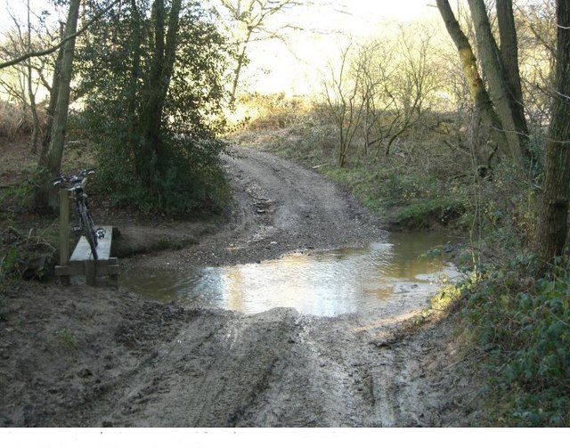
Tattleton's ford Tattleton's ford is on the High Weald Landscape trail that goes from Horsham across the north of Sussex to Rye. Being on a bridleway that swoops down from Carter's Lodge to the Grouse road it makes a pleasant feature (keep to the left). Tattleton's farm once stood just over the ford, to the right.
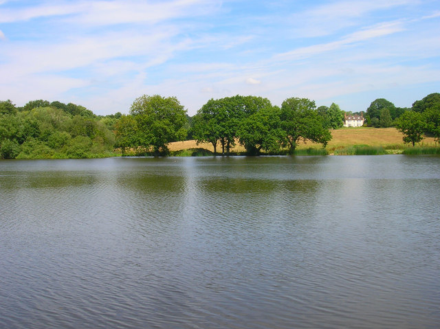
Slaugham Mill Pond. Taken from the footpath that runs along the southern shore of the pond. The wood to the left is Holes Wood whilst the building in the distance is the Old Rectory in Slaugham village.


