Hayle to St Ives Walk

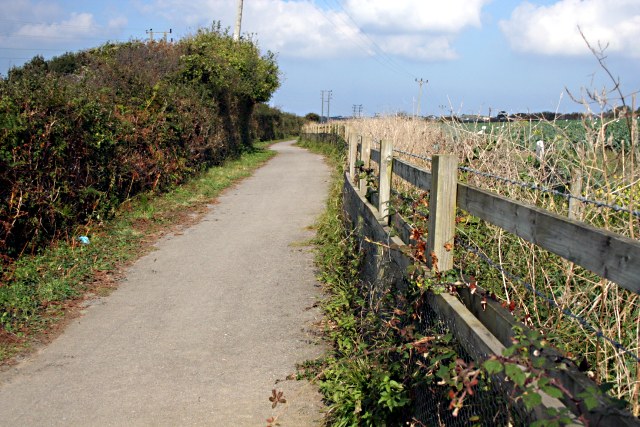
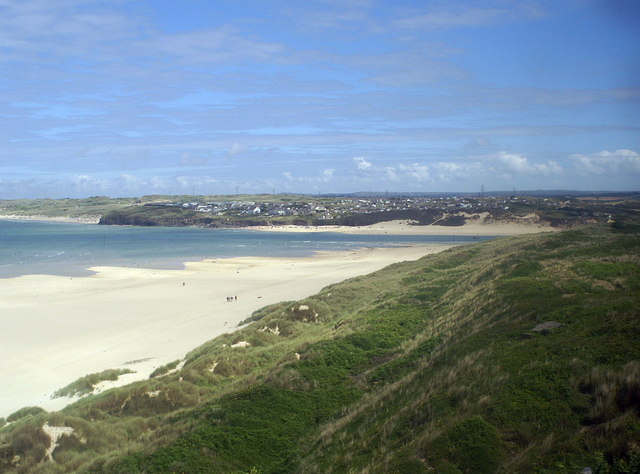
 This walk explores the Hayle Estuary and Carbis Bay on the South West Coast path in Cornwall. It's a stunning area with lots of wildlife to look out for on the estuary and wonderful beaches with views of St Ives Bay as you approach St Ives. It's a fairly easy 5 mile walk with only a few fairly easy climbs along the way.
Starting at the train station in Hayle, pick up the coast path to take you past the pretty quays and harbour. The path bends around the estuary to Lelant Saltings and then through Lelant, before coming to Porth Kidney Sands. You pass along the beautiful beach to the golden sands of Carbis Bay.
The route then comes into St Ives, passing Porthminster Beach on the way. In St Ives you can visit the Tate gallery and the Barbara Hepworth Museum which includes a fine Sculpture Garden. You can also catch boat trips to the nearby seal colonies on the Carrack Rocks and other locations along the coast.
To extend your exercise you can pick up the St Ives to Zennor Walk. This popular section of the coast path exposes you to more wonderful coastal scenery with dramatic cliffs rising hundreds of feet above the sea, beautiful beaches and delightful coves.


