Holme Moss Walks
![]()
![]() This walk visits a fine viewpoint near Holmfirth in Kirklees, West Yorkshire.
This walk visits a fine viewpoint near Holmfirth in Kirklees, West Yorkshire.
You can start the walk from the Holme Moss car park, off the Woodhead Road near the transmitting station. Then following a lane up towards the transmitter where there are some excellent views over the Holme Valley. If you head east of the car park you can also explore the attractive moorland on Wilmer Hill where you can often see hang gliders.
The hill is a popular climb for cyclists too so you'll probably see a few struggling up the steep hill.
The walk can be extended by heading to the nearby Yateholme Reservoir which lies just to the east. Brownhill Reservoir, Ramsden Reservoir and the long distance Kirklees Way are other good local options.
Postcode
HD9 2QH - Please note: Postcode may be approximate for some rural locationsHolme Moss Ordnance Survey Map  - view and print off detailed OS map
Holme Moss Open Street Map  - view and print off detailed map
Holme Moss OS Map  - Mobile GPS OS Map with Location tracking
Holme Moss Open Street Map  - Mobile GPS Map with Location tracking
Cycle Routes and Walking Routes Nearby
Photos
The Holme Moss mast was originally built in 1951. The 225metre (750feet) guyed mast was designed for wind speeds of 125 mph at the top and for half an inch of ice on every part of the structure. In the late 1980s there were two masts at Holme Moss for a time, when the original mast was replaced by the current mast. The replacement was the same height. The station of Holme Moss is on the A6024 at 524metres (1750 feet) above sea level.
Gateway to the moor, Wilmer Hill. A new gate on a path leading to Lightens Edge. There is also a stile to the right, out of shot. The fence looks also new also, with sturdier posts than those shown in the older image. The fence was not shown on the 1994 edition of the 1:25,000 map. There is a similar gate in the fence at the far side of the enclosure.
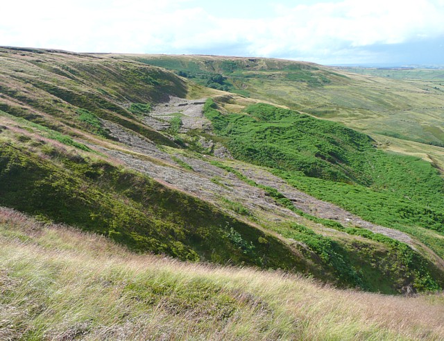
Lambing Holes. I thought that this might be an old quarry, but no maps show one and there is no outcrop of rock, so I think it must be the site of a landslip long ago. The name, shown on the 1850 six-inch map, includes the word 'holes', which seems to be associated with areas of disturbed ground on the scarp slopes of the moors.


