Holmwood Common
![]()
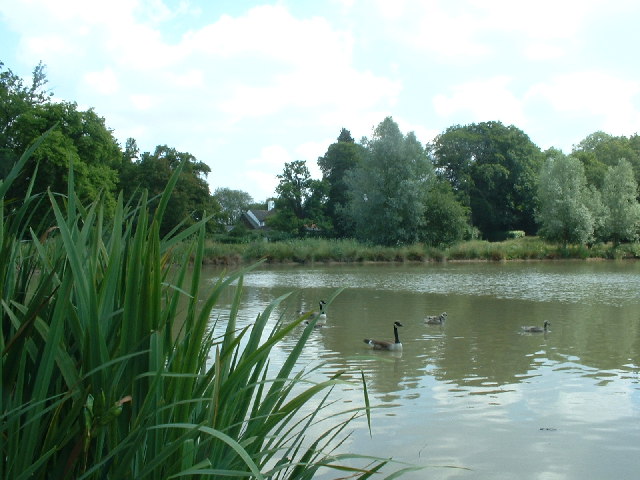
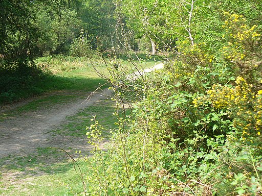
![]() This National Trust managed common has miles of walking trails to try. The area covers 650 acres and consists of ancient woodland, grassland and several ponds. It's great for wildlife with butterflies, dragonflies, deer and a variety of birdlife including chiffchaffs, blackcaps and willow warblers. The common is also good for cycling with a number of flat trails to follow.
This National Trust managed common has miles of walking trails to try. The area covers 650 acres and consists of ancient woodland, grassland and several ponds. It's great for wildlife with butterflies, dragonflies, deer and a variety of birdlife including chiffchaffs, blackcaps and willow warblers. The common is also good for cycling with a number of flat trails to follow.
If you would like to extend your walking in the area then you could climb the nearby Leith Hill.
This walk starts from the western side of the common at the Mill Road car park but there is also the Fourwents Pond car park on the eastern side. The large pond is a nice place for a stroll with ducks and geese to see on the water.
Postcode
RH5 4NR - Please note: Postcode may be approximate for some rural locationsHolmwood Common Ordnance Survey Map  - view and print off detailed OS map
Holmwood Common Open Street Map  - view and print off detailed map
Holmwood Common OS Map  - Mobile GPS OS Map with Location tracking
Holmwood Common Open Street Map  - Mobile GPS Map with Location tracking
Further Information and Other Local Ideas
Just to the west there's Abinger Common to explore. There's miles more trails here with good views over the Surrey Hills. You can also pick up the circular Friday Street Walk from the same car park here. It explores the pretty Friday Street Mill Pond and the 17th century Wotton House Estate before heading to the Tillingbourne Waterfall on the River Tillingbourne.


