GPS Cycle and Walking Routes

Holne Woods and Bench Tor Walk

5 miles (8.8 km)

This circular walk visits Devon's Holne Woods, near the village of Holne on the southeastern slopes of Dartmoor.
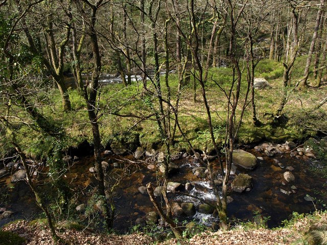
On the walk you will pass along miles of peaceful woodland trails next to the River Dart. At the northern end of the route you will come to the Dart Valley Nature Reserve where you can enjoy some pretty waterfalls and look out for a variety of birdlife.
The return leg passes the lovely Venford Waterfall before coming to Venford Reservoir where there is a nice waterside trail to try. In this area there's an optional detour to Bench Tor where there are some interesting geological rock formations and great views over the Dart Valley to enjoy.
To continue your walking in the area head south east to visit Hembury Woods. There are similar river trails and the ancient Hembury Castle Hill Fort to see in this area.

Holne Woods OS Map - Mobile GPS OS Map with Location tracking

Holne Woods Open Street Map - Mobile GPS Map with Location tracking

Cycle Routes and Walking Routes Nearby

Photos

Village scene, Holne - geograph.org.uk - 1311085

Village scene, Holne

Riverside path by the Dart - geograph.org.uk - 2358135

Riverside path by the Dart

Holne, towards Wellsfoot Island - geograph.org.uk - 2709874

Holne, towards Wellsfoot Island

Long Island - geograph.org.uk - 2358189

Long Island

Secret Waterfall - geograph.org.uk - 3639009

Secret Waterfall near Venford Reservoir

Track below Venford Reservoir - geograph.org.uk - 592889

Track below Venford Reservoir. This rather good track, with a granite retaining wall at the side, can be traced for a long way down the Dart valley through White Wood, but only this stretch near the reservoir appears on most maps. I've always assumed it must have been linked to the construction of the dam in some way.

Western slopes below Bench Tor - geograph.org.uk - 596760

Western slopes below Bench Tor. Looking across bracken and gorse to the upper edge of White Wood, which surrounds the ridge on which the tor stands on the west, north and east. Beyond are the interlocking spurs of the Dart valley, approaching the camera from the direction of Dartmeet. On the right are fields around Rowbrook.

Towards Venford Reservoir from Bench Tor - geograph.org.uk - 596581

Towards Venford Reservoir from Bench Tor. A variety of tracks make their way across the moorland between the tor and the nearest road past the reservoir. In the distance is Ryder's Hill, the highest point in the southern moor.

Video

GPS Files

GPX File

Holne Woods.gpx (On Desktop:Right Click>'Save As. On Ipad/Iphone:Click and hold>Share>Save to Files')