Hook Hampshire Walks
![]()
![]() This Hampshire based town has some nice local woods, river walks, a pleasant local nature reserve and a number of nearby country parks to explore.
This Hampshire based town has some nice local woods, river walks, a pleasant local nature reserve and a number of nearby country parks to explore.
This short walk in the town visits the Bassets Mead park. The small park is located on the eastern side of the town and consists of some pleasant footpaths along the River Whitewater. There are three car parks at the site providing access to the easy footpaths. On the site there's meadows, ponds and copse with information boards telling you all about the flora and fauna you can see here.
You can extend the walk by heading north to visit the adjacent Whitewater Meadows.
Postcode
RG27 9UW - Please note: Postcode may be approximate for some rural locationsHook Ordnance Survey Map  - view and print off detailed OS map
Hook Open Street Map  - view and print off detailed map
Hook OS Map  - Mobile GPS OS Map with Location tracking
Hook Open Street Map  - Mobile GPS Map with Location tracking
Walks near Hook
- Hartley Wintney - This walk from Hartley Wintney explores the area to the south of the village
- Basingstoke Canal Walk - Follow the Basingstoke canal from Up Nately to Woodham, on this delightful waterside walk
- Dogmersfield Park - Enjoy an easy stroll through Dogmersfield park on this circular walk in Hampshire
- West Green House - Enjoy a walk through the beautiful 10 acre gardens surrounding the 18th century West Green House and then extend your walk into the adjacent West Green Common
- Fleet Pond - Enjoy an easy circular walk around the Fleet Pond Nature Reserve in the Hampshire town of Fleet
- Crondall - This attractive Hampshire village is located in the Hart District of the county
- Bramshill Forest - This circular walk takes you around the pretty Bramshill Forest, near Eversley in Hampshire
- California Country Park - This country park is located near Wokingham in Berkshire and has two lovely short walks
- Wellington Country Park - This 350 acre park is very popular with walkers with four splendid nature trails to follow
Pubs/Cafes
The Crooked Billet is located right next to the park. The waterside pub can be found at London Roadd, RG27 9EH.
Photos
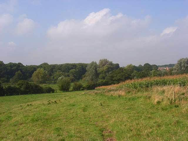
Farmland, Hook Pasture and a maize crop just above the River Whitewater. A footpath descending from Totters Farm is slightly to the south. There is just a glimpse of Hook's plentiful modern housing.


