Horsford Woods

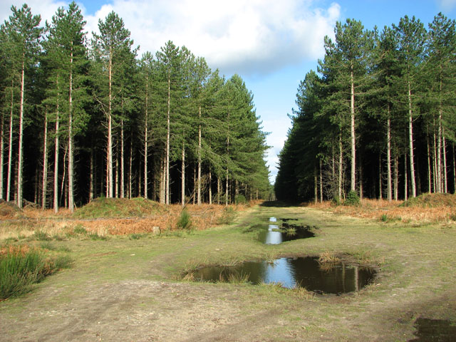
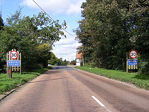
 This walk explores Horsford Woods near the Norfolk based village of Horsford.
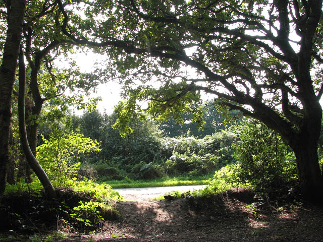
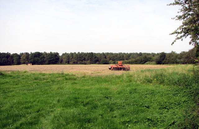
You can start the walk from the car park at the south western side of the site. From here you can pick up several peaceful trails taking you through the forest. From the edges of the woods there are also some fine views of the surrounding countryside.
The woods are adjacent to the new Broadland Country Park. You can extend your outing by picking up the waymarked cycling and walking trails to the west.
Also to the west is the Marriot's Way. You could pick up this popular shared cycling and walking trail which runs from from Aylsham to Norwich along a disused railway line.
Postcode
NR10 3ED - Please note: Postcode may be approximate for some rural locationsHorsford Woods Ordnance Survey Map  - view and print off detailed OS map
Horsford Woods Open Street Map  - view and print off detailed map
Horsford Woods OS Map  - Mobile GPS OS Map with Location tracking
Horsford Woods Open Street Map  - Mobile GPS Map with Location tracking
Walks near Horsford
- Marsham Heath - This circular walk visits the Cawston and Marsham Heaths near Aylsham and Norwich in Norfolk.
- Norwich Riverside Walk - This circular walk around the city centre of Norwich follows the lovely riverside path along the River Wensum
- Aylsham - Aylsham is an attractive market town located in North Norfolk
- Blickling Hall - The Blickling Hall estate in Aylsham has five thousand acres of parkland, farmland and woodland to explore on foot or by bike.
- Heydon Hall - This walk visits the delightful Norfolk village of Heydon
- Mannington Hall - This circular walk visits Mannington Hall and Gardens near Itteringham in Norfolk.
- Wolterton Hall - This walk explores the grounds of the 18th century Wolterton Park estate in Norfolk.
- Baconsthorpe Castle - This circular walk explores the area around the Norfolk village of Baconsthorpe, visiting the historic Baconsthorpe Castle.
- Marriot's Way - This wonderful cycle and walking path runs from Aylsham to Norwich along the trackbeds of two former railway lines
- Taverham Mill - This walk visits the Taverham Mill Nature Reserve in the village of Taverham, Norfolk.
Pubs/Cafes
Head into Horsford village and you could enjoy some post walk refreshment at The Dog Inn. The pub has car parking and a nice garden area to sit out in.
You can find them at 65 Holt Road with postcode NR10 3DF for your sat navs.
Dog Walking
The woodland trails are ideal for a dog walk and the Dog Inn mentioned above also welcomes your four legged friend.
Further Information and Other Local Ideas
Just to the south west there's Taverham Mill to explore. The mill is a wildlife rich nature reserve with three colour coded walking trails taking you to grassland, woodland, water meadow and a wild flower meadow. The Costessey Circular Walk can also be picked up in this area. There's nice views of the of the valleys of the rivers Wensum and Tud on this easy walk.


