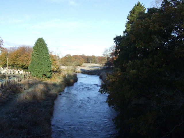
Inverurie River and Keith Hall Woodland Walk
3.7 miles (6 km)
![]()
![]() This historic Aberdeenshire based town sits at the confluence of the rivers Ury and Don.
This historic Aberdeenshire based town sits at the confluence of the rivers Ury and Don.
This circular walk takes you along the river Don before exploring the Keith Hall Estate to the east of the town. The historic estate includes woodland footpaths and fine views back to the town and surrounding hills.
To continue your walking in the area head west to the Bennachie Hills. The hills are one of the walking highlights of the area with more woodland walks around the forest and the popular climb to Mither Tap.
For some more local history there's the 15th century Castle Fraser. The castle is surrounded by attractive grounds with two waymarked walks to try.
To the south east there's also the expansive Kirkhill Forest.
Inverurie Ordnance Survey Map  - view and print off detailed OS map
Inverurie Open Street Map  - view and print off detailed map
Inverurie OS Map  - Mobile GPS OS Map with Location tracking
Inverurie Open Street Map  - Mobile GPS Map with Location tracking
Walks near Inverurie
- Bennachie Walks - Explore the Bennachie Forest and the Bennachie Hills on a series of fine walking trails
- Gordon Way - Explore the Bennachie range in Aberdeenshire on this challenging walk
- Kirkhill Forest - This forest near Aberdeen has some good walking paths and mountain bike trails to try
- Haughton Country Park - Enjoy a short stroll around the pretty Haughton Country Park in Alford, Aberdeenshire
- Pitfichie Forest - This walk visits the Whitehills Stone Circle and Bogmore Wood from Pitfichie Forest car park
- Aberdeen - With a beautiful coastline, some fine city parks, local forests and riverside trails the city of Aberdeen is a great place for walkers.
- Castle Fraser - This 15th century castle in Inverurie is surrounded by attractive parkland, lovely gardens and peaceful woodland.
- Loch of Skene - This large freshwater loch is located near Dunecht and Kirkton of Skene in Aberdeenshire
- Balmedie Country Park - Enjoy some simply stunning coastal scenery in this country park on the East coast of Scotland
- Drum Castle - This 13th century castle near Drumoak has some lovely walking trails to follow through the grounds and surrounding woodland.
To the east of the castle you can try the farmland walk, while on the western side the Drumhill trail will take you through the Forest of Drum.
In the grounds you can visit the delightful Garden of Historic Roses and an arboretum containing trees from all regions of the 18th century British Empire - Craigievar Castle - This walk explores the grounds of Craigievar Castle in Aberdeenshire.


