Irton Pike Walk

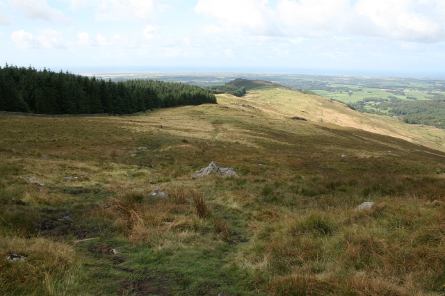
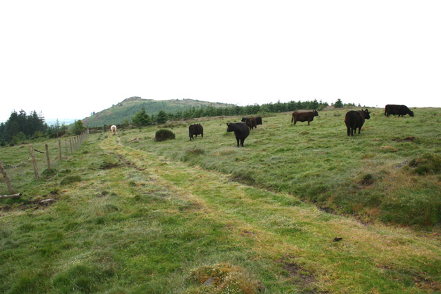
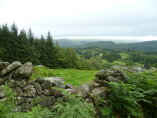
 This circular walk climbs to Irton Pike in the western area of the Lake District. The fell is one of the lesser known so a nice peaceful and fairly easy climb to try.
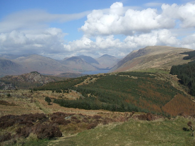
There's a car parking area just to the south of the fell where you can start your walk. Then follow the trails north east up to the 751 feet (229 m) high summit of the fell. From here there are great views to Wast Water to the north east and of the surrounding lakeland fells.
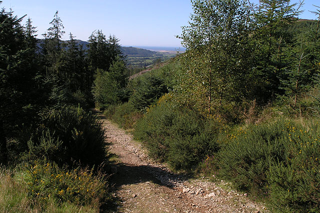
The route then descends through woodland to Mecklin Park before following an alternative path back towards the car park.
The fell can also be climbed from the nearby villages of Eskdale Green and Santon Bridge.
You could extend the walk by heading south into Irton Park. Here you can enjoy more woodland trails, views of the Stony Beck and a visit to Parkgate Tarn.
For a longer circular walk starting from the car park at Porterthwaite at the south eastern end of Miterdale Forest. There's views of the River Mite on this alternative route with more details in the video below.
Postcode
CA19 1UY - Please note: Postcode may be approximate for some rural locationsIrton Pike Ordnance Survey Map  - view and print off detailed OS map
Irton Pike Open Street Map  - view and print off detailed map
Irton Pike OS Map  - Mobile GPS OS Map with Location tracking
Irton Pike Open Street Map  - Mobile GPS Map with Location tracking
Pubs/Cafes
Just to the west of the fell is the pretty little village of Santon Bridge. Here you could enjoy some post walk refreshments at the Santon Bridge Inn. They serve good quality dishes including a Sunday Carvery. There is also a car parking area and a garden area. You can find them at postcode CA19 1UX for your sat navs.
To the south east there's the worthy village of Eskdale Green. The pretty settlement includes a tarn, woods, a Japanese Garden, riverside trails and two fine historic pubs. There's also Eskdale Green station or Irton Road Station on the heritage Ravenglass and Eskdale Railway here.
Dog Walking
The woodland and hills make for a fine dog walk. The inn mentioned above is also dog friendly.


