Kessingland to Southwold Walk

 This walk follows a popular section of the Suffolk Coast Path from Kessingland to Southwold. It's about a 10 mile walk on fairly flat, waymarked footpaths and country lanes. You'll pass through a section of the Benacre National Nature Reserve which consists of open water lagoons, marshland, reed beds, woodland and heathland. There's great wildlife spotting opportunities with marsh harrier, bearded reedling, water rail, and bittern to look out for on the way.
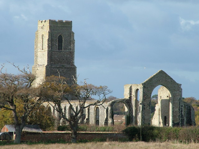
Starting on the sea front the walk heads south along Kessingland Beach before turning inland toward Benacre which is designated as a National Nature Reserve. You then turn south, following country lanes toward Wrentham and then heading east to Covehithe. Here you will find the partly ruined St Andrew's Church which is Grade I listed.
The route continues past Covehithe Broad and the Pottersbridge Marshes before coming to Reydon. Here you turn toward the coast where you pass along Sole Bay and finish at Southwold on the front.
You can extend the walk by continuing along the coast path to the Suffolk Coast National Nature Reserve. Here you can explore Westwood Marshes and Dunwich Forest on more good walking trails.


