Kinver Canal Walk
![]()
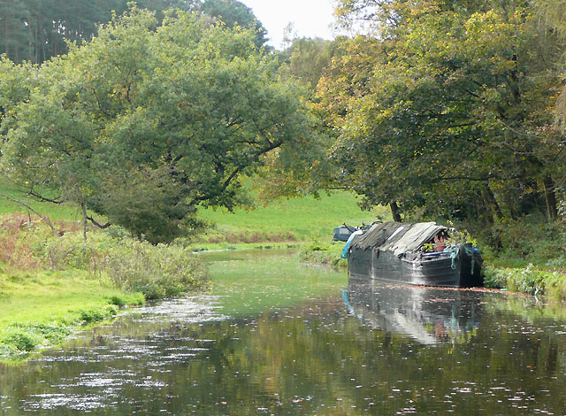
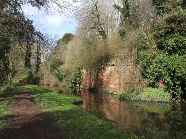
![]() This walk follows the Staffordshire and Worcestershire Canal from Kinver to the lovely Bratch Locks in Wombourne. The route runs for about 9 miles with a series of old bridges, pretty locks and nice views of the Staffordshire countryside to enjoy on the way.
This walk follows the Staffordshire and Worcestershire Canal from Kinver to the lovely Bratch Locks in Wombourne. The route runs for about 9 miles with a series of old bridges, pretty locks and nice views of the Staffordshire countryside to enjoy on the way.
The route starts in the village centre and heads east along the River Stour to the canal at Dunsley. You then head north passing Hyde Bridge, Stweponey Bridge and the village of Stourton. You continue north past Ashwood, Hinksford and Swindon before coming into Wombourne. Here you'll find the old Bratch pumping station and the impressive Bratch Locks, originally built as a staircase. It's a popular spot for relaxing with a picnic on a fine day.
Kinver Canal Walk Ordnance Survey Map  - view and print off detailed OS map
Kinver Canal Walk Open Street Map  - view and print off detailed map
Kinver Canal Walk OS Map  - Mobile GPS OS Map with Location tracking
Kinver Canal Walk Open Street Map  - Mobile GPS Map with Location tracking
Pubs/Cafes
At the start of the route there's The Cross Inn At Kinver. They do good homemade food and also have a nice garden area to sit out in. You can find the pub at 1 Church Hill with a postcode of DY7 6JA for your sat navs.
The railway cafe is located at the end of the route in Wombourne. The lovely cafe is set in restored railway station and offers a delicious selection of freshly made food, breakfast, lunch and afternoon tea. If the weather is good you can sit outside in the garden or under cover on the platform.
On the route there's also the Navigation Inn at Greenforge. It's in a great spot where you can enjoy a meal and watch the canal boats navigating the adjacent lock. You can find the pub at Greensforge Lane with a postcode of DY6 0AH for your sat navs.
Dog Walking
The canal paths make for a nice dog walk and the and the railway cafe mentioned above is also dog friendly in the garden or on the old platform that is all under cover. The Cross Inn At Kinver pub is also dog friendly.
Further Information and Other Local Ideas
Near Greensforge you'll pass close to Highgate Common. There's some nice woodland trails here with 320 acres of lowland heath covered with heather, broom and gorse. It's located about a mile west of the canal.
The Kidderminster Canal Walk visits the village from the nearby town. It then climbs to the fabulous viewpoint at Kinver Edge before heading into the woodland at Kingsford Country Park.
At the end of the route you can pick up the circular Wombourne Railway Walk which runs along a dismantled railway line and another section of the canal. In Wombourne you could pay a visit to the 18th century Himley Hall. The historic hall is surrounded by ‘Capability’ Brown landscaped parkland with woodland walks, waterfalls and a large lake.
Just to the south west of the village you can pick up the Habberley Valley Circular Walk. This will take you around a lovely nature reserve with woodland, grassland and heathland to explore.
For more walking ideas in the area see the Staffordshire Walks page.
Cycle Routes and Walking Routes Nearby
Photos
Kinver Lock and Kinfare Bridge. The Lock here lowers the Staffordshire and Worcestershire canal by 7 feet 3 inches (2.2 metres).
Bratch Locks, Wombourne. The three locks look like a staircase, but operate them as such, and you're in trouble! Opened 1772 (James Brindley). Too many sightseers (hoping for a mistake?) on sunny summer Sundays have meant access restrictions are now (nominally) in place.


