Langstrath Valley
![]()
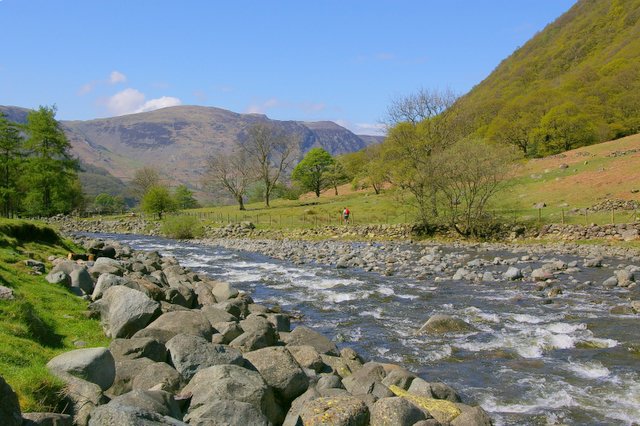
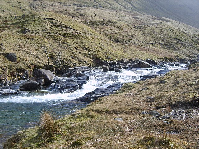
![]() This circular walk takes you through the lovely Langstrath Valley in the Borrowdale area of the Lake District. The route runs for about 10 miles, following footpaths, tracks and country lanes on either side of the Langstrath Beck. On the walk you'll pass a series of lovely waterfalls with fine views of the surrounding hills throughout.
This circular walk takes you through the lovely Langstrath Valley in the Borrowdale area of the Lake District. The route runs for about 10 miles, following footpaths, tracks and country lanes on either side of the Langstrath Beck. On the walk you'll pass a series of lovely waterfalls with fine views of the surrounding hills throughout.
The route starts from Rosthwaite where there is a National Trust car park a few miles south of Derwentwater. From here you can pick up the Cumbria Way and follow it south along the Stonethwaite Beck. You'll pass Galleny Falls, Smithymire Island and Stonethwaite Fell before crossing to the other side of the beck. The paths then lead you north to the village of Stonethwaite before returning to Rosthwaite. After your exercise you can enjoy refreshments at the 18th century Royal Oak Hotel which is very walker friendly.
To continue your walking in the area try our Circular Walk from Rosthwaite which starts from the same car park. The lovely route visits the picturesque Watendlath Tarn and Dock Tarn.
Langstrath Valley Ordnance Survey Map  - view and print off detailed OS map
Langstrath Valley Open Street Map  - view and print off detailed map
Langstrath Valley OS Map  - Mobile GPS OS Map with Location tracking
Langstrath Valley Open Street Map  - Mobile GPS Map with Location tracking
Pubs/Cafes
The Glaramara House hotel in Seatoller is in a stunning location, just south west of Rosthwaite. There's wonderful views of the Borrowdale Fells from the lovely outdoor seating area in the spacious grounds. It's the perfect place to relax after a long walk on a warm day. Indoors there's a cosy resident’s lounge with a log fire and a spacious bar. They do very good food and also provide top quality accommodation if you need to stay over. You can find the hotel just to the east of the National trust car park on the Honister Pass at postcode CA12 5XQ. From here you can also enjoy a climb to Thornythwaite Fell and Glaramara mountain.
Cycle Routes and Walking Routes Nearby
Photos
The Langstrath Inn, Stonethwaite, Borrowdale, Cumbria, seen from the south-east, with High Spy in the background.
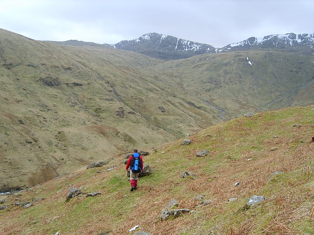
In Langstrath. Heading up the valley into a fierce gusting wind. Bowfell in shot


