GPS Cycle and Walking Routes

Linn Of Tummel Walk

2 miles (3.3 km)

This walk visits the National Trust's Linn Of Tummel near Pitlochry in Perthshire.
It's a lovely scenic spot sitting at the confluence of the rivers Garry and Tummel. There's woodland trails, rushing pools and lots of wildlife to look out for too. Keep your eyes peeled for pine martens, otters and a variety of woodland birds as you make your way along the paths. The flora includes pearl-bordered fritillary and lily of the valley.
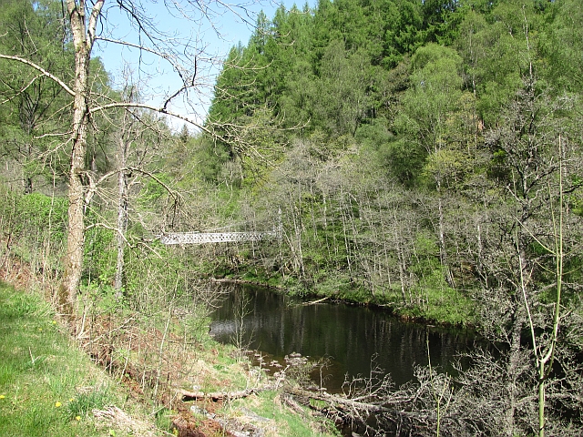
You can start the walk from the car park and then head north west along the river to the Coronation Bridge. Here you can cross over to the other side and enjoy some woodland trails to the River Garry.
Just to the east of the car park there's also the Clunie Power Station which is surrounded by attractive woodland and views of the surrounding hills. 
To continue the walk you could head north west to visit Loch Tummel and the majestic viewpoint at Queen's View. There's also more peaceful woodland trails in Tay Forest Park to the east. This area includes the climb to Craigower.

Postcode

PH16 5NP - Please note: Postcode may be approximate for some rural locations

Linn Of Tummel OS Map - Mobile GPS OS Map with Location tracking

Linn Of Tummel Open Street Map - Mobile GPS Map with Location tracking

Photos

Linn of Tummel - geograph.org.uk - 5038647

Linn of Tummel

Obelisk commemorating a visit by Queen Victoria in 1844 - geograph.org.uk - 1099163

Obelisk commemorating a visit by Queen Victoria in 1844. When Queen Victoria saw the Linn of Tummel, in MDCCCXLIV, the Tummel plunged a considerable height to join the River Garry. The dam at Pitlochry created Loch Faskally but reduced the height of this fall. The falls were originally so high that salmon were not able to jump up them and a very early example of a fish-pass was created so the salmon could bypass the falls. This fish-pass emerges beside the obelisk.

View up the Tummel - geograph.org.uk - 1827686

View up the Tummel

Footpath beside the River Tummel - geograph.org.uk - 1828474

Footpath beside the River Tummel

Autumn colour by the River Gary - geograph.org.uk - 2138756

Autumn colour by the River Gary

Coronation Bridge, River Tummel - geograph.org.uk - 3283644

Coronation Bridge, River Tummel

Linn of Tummel waterfall - geograph.org.uk - 4767967

Linn of Tummel waterfall

Clunie power station - geograph.org.uk - 1003600

Clunie power station. The pylon takes the power from the power station. The River Tummel takes the outflow from the hydro-electric power station just below the confluence of the River Tummel and the River Garry. The high level Garry bridge, with bus parked on it, is just to the right of the pylon. Carn Liath, a Munro, is the mountain in the centre.

Video

GPS Files

GPX File

Linn Of Tummel.gpx (On Desktop:Right Click>'Save As. On Ipad/Iphone:Click and hold>Share>Save to Files')