Llyn Cwellyn
![]()
![]() This figure of eight walk climbs into the hills above Llyn Cwellyn before descending to the woodland on the southern side of the water. From the high points there's great views over the lake to Snowdon on the other side. You'll also enjoy views of the nearby Llyn y Dywarchen and a walk along the Afon Drws-y-Coed.
This figure of eight walk climbs into the hills above Llyn Cwellyn before descending to the woodland on the southern side of the water. From the high points there's great views over the lake to Snowdon on the other side. You'll also enjoy views of the nearby Llyn y Dywarchen and a walk along the Afon Drws-y-Coed.
The walk can be started from the southern end of the lake. From here you can pick up trails heading up towards Drws-y-Coed.
You can extend the walk by continuing west and climbing Mynydd Mawr. On the other side of the lake you can pick up the Snowdon Ranger Path.
Postcode
LL54 7YS - Please note: Postcode may be approximate for some rural locationsLlyn Cwellyn Ordnance Survey Map  - view and print off detailed OS map
Llyn Cwellyn Open Street Map  - view and print off detailed map
Llyn Cwellyn OS Map  - Mobile GPS OS Map with Location tracking
Llyn Cwellyn Open Street Map  - Mobile GPS Map with Location tracking
Further Information and Other Local Ideas
Just to the west you can explore the Dorothea Quarry where you'll find the remains of the old mining houses and a series of scenic lakes including Llyn Nantlle Uchaf. The quarry is one of the significant sites on the Snowdonia Slate Trail which runs through the area. The circular long distance trail can be used to visit several of the other historic mining areas located in the World Heritage Site. Heading north along the trail would take you to Dinorwic Quarry which was at one time the second largest slate quarry in the world. The site is located on the edge of Padarn Country Park where there are some lovely waterside trails along Llyn Padarn and Llyn Peris.
Cycle Routes and Walking Routes Nearby
Photos
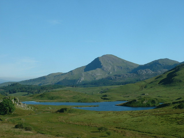
Llyn y Dywarchen just south of Llyn Cwellyn. Looking east, towards Moel Hebog in the background. This lake is marked on the OS 1:25,000 map as a reservoir.


