Lochcote Reservoir and Cockleroy Hill Walk

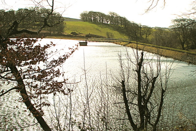
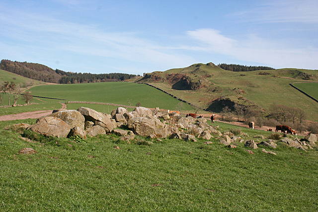
 This walk in West Lothian visits the Lochcote Reservoir before a climb to the viewpoint on Cockleroy Hill.
The pretty lake and viewpoint are located in between Bathgate and Linlithgow.
Start the walk from the little village of Torphichen where you can follow country lanes north and then east to reach the reservoir. You continue east past the remains of the old castle before the climb to Cockleroy Hill. From the 278 metre high summit there are some excellent views back down to the lake and to the surrounding Bathgate Hills and countryside.
Cockleroy sits on the western edge of Beecraigs Country Park so it's easy to extend the walk if you have time. The park includes extensive woodland and the picturesque Beecraigs Loch on the eastern side of the site.
You could also continue north into Linlithgow where you can enjoy more waterside walks along Linlithgow Loch and the Union Canal on the Linlithgow Canal Walk.
Lochcote Reservoir Ordnance Survey Map  - view and print off detailed OS map
Lochcote Reservoir Open Street Map  - view and print off detailed map
Lochcote Reservoir OS Map  - Mobile GPS OS Map with Location tracking
Lochcote Reservoir Open Street Map  - Mobile GPS Map with Location tracking
Further Information and Other Local Ideas
Just to the south east there's some interesting local history at Cairnpapple Hill. Here you'll find an ancient henge and a visitor centre where you can learn all about the bronze age history of the hill.


