Lough Owel Walks
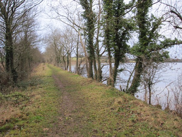
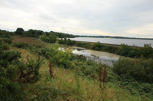
![]() This walk visits the picturesque Lough Owel near Mullingar in County Westmeath.
This walk visits the picturesque Lough Owel near Mullingar in County Westmeath.
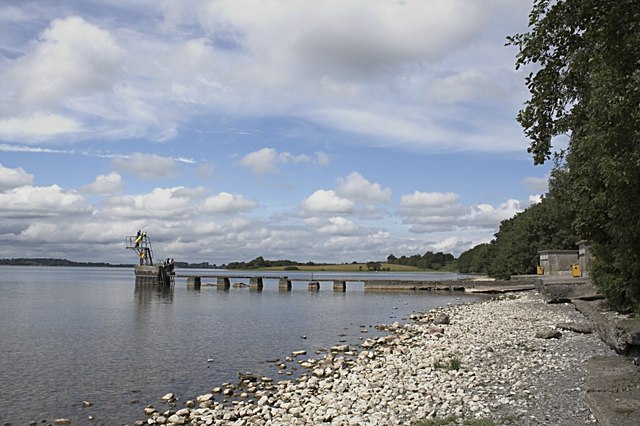
There's a good sized public car park at the southern end of the lake, near to the Pitch and Putt golf. From here you can enjoy a short stroll east along the lakeshore with fine views across the crystal clear waters. The lake is popular with swimmers and there is also a nice picnic area to relax in.
On the eastern side of the lake you'll find Scragh Bog. There's a looped walking trail here with boardwalks and lots of interesting flora and fauna.
Lough Owel Open Street Map  - view and print off detailed map
Ireland Walking Map - View All the Routes in the Country>>
Lough Owel Open Street Map  - Mobile GPS Map with Location tracking
Further Information and Other Local Ideas
Just to the south there's more waterside paths at Belvedere House and Lough Ennell. The house includes lakeside trails, woodland, sculptures, a fairy garden and a Victoria Walled Garden. There's also some wonderful ruined follies including the eye catching Jealous Wall.
The Athlone - Mullingar Greenway also starts in nearby Mullingar. The shared cycling and walking trail will take you along the old railway line to Athlone via Moate.
To the west there's the Corlea Trackway. Here you will find the fascinating Corlea Trackway Visitor Centre, which houses an 18-meter stretch of a preserved Iron Age roadway, constructed in 148 BC from heavy oak planks.
In Longford you can pick up the Longford Canal Branch of the Royal Canal and enjoy an easy waterside walk. The peaceful woodland trails in Newcastle Wood can also be found in this area.


