Louth Railway Walk
![]()
![]() This walk in Louth takes you along the course of the old railway line to Grimoldby.
This walk in Louth takes you along the course of the old railway line to Grimoldby.
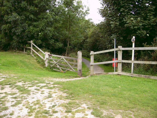
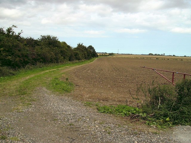
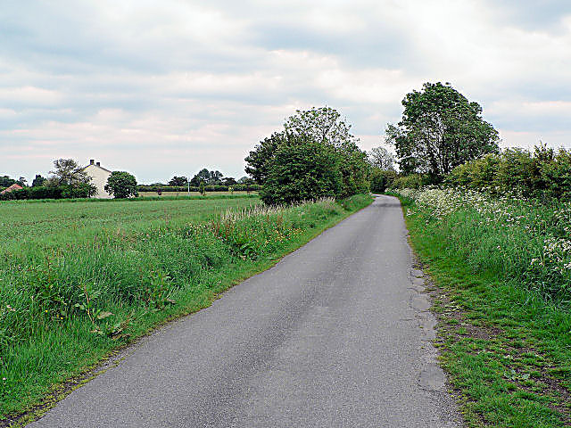
It's about a 4 mile walk, following the trackbed of the railway east via Stewton. You can start the walk on Stewton Lane just to the south east of the town centre. Then head east through the fields with some pleasant countryside views to enjoy on the way.
The opening sections around Louth are well surfaced but there are more grassy uneven paths as the walk progresses.
Louth was the northern terminus of the Mablethorpe Loop railway line. The line ran through the nearby villages and seaside towns of Mablethorpe, Sutton-on-Sea, Grimoldby, Saltfleetby, Theddlethorpe, Mumby and Willoughby. It was closed in 1970.
You can continue your walking in the town by picking up the Louth Canal.
Louth Railway Walk Ordnance Survey Map  - view and print off detailed OS map
Louth Railway Walk Open Street Map  - view and print off detailed map
Louth Railway Walk OS Map  - Mobile GPS OS Map with Location tracking
Louth Railway Walk Open Street Map  - Mobile GPS Map with Location tracking
Cycle Routes and Walking Routes Nearby
Photos
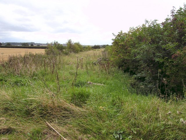
Louth to Mablethorpe railway trackbed. Taken from the former level crossing and looking west showing one of the few remains of the northern section of the "Mablethorpe Loop", which closed in 1960.
