Maerdy Lluest Wen Reservoir Walk
![]()
![]() This walk visits two pretty reservoirs from the village of Maerdy in Rhondda Cynon Taf.
This walk visits two pretty reservoirs from the village of Maerdy in Rhondda Cynon Taf.
The walk starts in the village and heads north along the River Rhondda Fach to the Lower Reservoir. You continue north passing some lovely waterfalls before coming to the Lleust-wen reservoir. It's a beautiful spot with the pretty lake surrounded by attractive woodland and grassland.
The last part of the walk runs along a section of the Coed Morgannwg Way, a waymarked long distance trail running through the area. You could follow the trail east to Dare Valley Country Park if you felt like extending the walk. If you were head north west you would soon come to the splendid viewpoint at Rhigos Mountain.
Maerdy Reservoir Ordnance Survey Map  - view and print off detailed OS map
Maerdy Reservoir Open Street Map  - view and print off detailed map
Maerdy Reservoir OS Map  - Mobile GPS OS Map with Location tracking
Maerdy Reservoir Open Street Map  - Mobile GPS Map with Location tracking
Further Information and Other Local Ideas
To the west there's the walk to the lovely Pen Pych Waterfall. There's some pleasant woodland trails leading to the picturesque waterfall with fine views from the high points.
Cycle Routes and Walking Routes Nearby
Photos
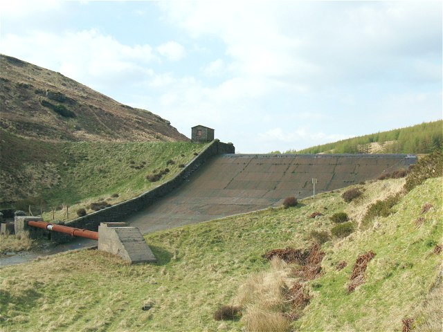
Lluest-wen Reservoir. The dam wall has a road crossing it. The water level does not reach the height of the wall pictured because it is only a thin concrete skin bounding the road. It is possible to walk from the pictured car park around the painted gantry above the top of the spillway.


