Mam Tor Circular Walk
![]()
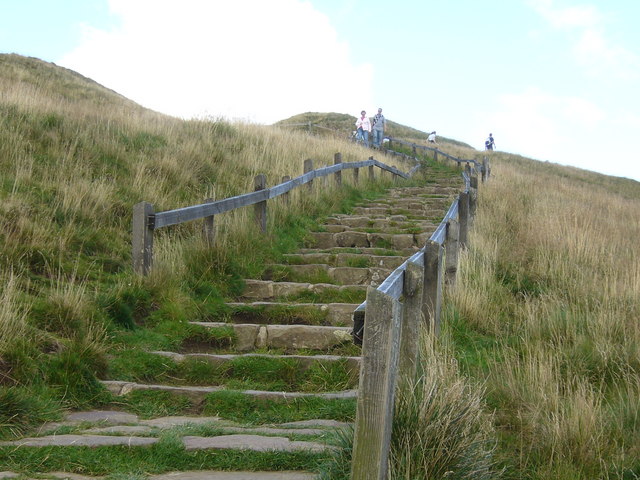
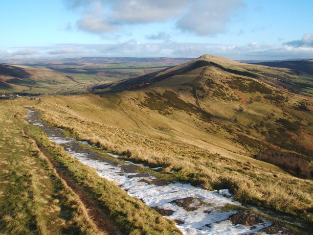
![]() This 517 m (1,696 ft) hill in the Peak District affords fabulous views over the surrounding area. This circular walk starts at the car park at the southern side of the hill and takes you to the summit on well defined walking trails and stone steps. The scenery is beautiful and dramatic with fine views over the Hope Valley and Edale Valley. The area is also geologically significant with Mam Tor consisting of 320 million year old Carboniferous rocks.
This 517 m (1,696 ft) hill in the Peak District affords fabulous views over the surrounding area. This circular walk starts at the car park at the southern side of the hill and takes you to the summit on well defined walking trails and stone steps. The scenery is beautiful and dramatic with fine views over the Hope Valley and Edale Valley. The area is also geologically significant with Mam Tor consisting of 320 million year old Carboniferous rocks.
From the summit you descend to Hollins Cross before turning south and continuing your descent to Mam Farm and Little Mam Tor. At Winnats Head Farm you turn west to return to the finish point.
The hill can also be reached on the other side of the great ridge from the villages of Castleton or Hope. See the Mam Tor Walk From Hope Walk for full details of this route.
If you would like to continue your walking then the nearby Kinder Scout is a good option. It is the highest point in the Peak District and affords fabulous views to Manchester, Snowdonia and Winter Hill.
You could also try the Castleton Circular Walk and visit the towering limestone pinnacles at Winnats Pass before climbing the 476 m (1,562 ft) high Lose Hill for more great views of the Hope Valley.
Another great option is to try the Great Ridge Walk from Mam Tor to Lose Hil. This takes you across a stunning ridge with more wonderful views to enjoy.
Mam Tor Ordnance Survey Map  - view and print off detailed OS map
Mam Tor Open Street Map  - view and print off detailed map
Mam Tor OS Map  - Mobile GPS OS Map with Location tracking
Mam Tor Open Street Map  - Mobile GPS Map with Location tracking
Cycle Routes and Walking Routes Nearby
Photos
Mountain bikers at Hollins Cross. A group on an activity holiday at Edale youth hostel stops at the top of a steep climb up from Edale.


