Musbury Tor Helmshore
![]()
![]() This walk climbs to Musbury Tor or Tor Hill in the Rossendale Valley. The circular route runs for about 1.5 miles with a moderate climb on the way.
This walk climbs to Musbury Tor or Tor Hill in the Rossendale Valley. The circular route runs for about 1.5 miles with a moderate climb on the way.
The walk starts just to the east of the hill in the village of Helmshore where some parking is available. From here you can pick up footpaths heading south west past Hollin Bank to Tor End. Continue west and you will soon come to the Tor Hill summit. This stands at 340.1 metres (1,116 ft) and commands fine views over the Alden Valley to its south and Musbury Valley to the north.
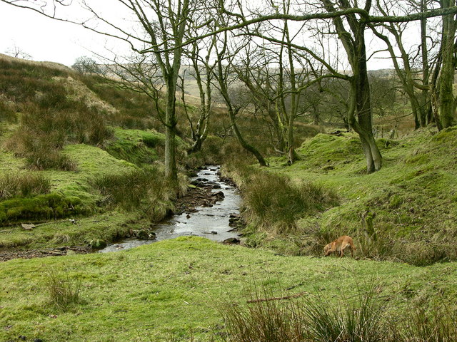
After taking in the views the route descends on other paths back into Helmshore. There are alternative footpaths to the north along the Musbury Brook if you prefer.
Musbury Tor Ordnance Survey Map  - view and print off detailed OS map
Musbury Tor Open Street Map  - view and print off detailed map
Musbury Tor OS Map  - Mobile GPS OS Map with Location tracking
Musbury Tor Open Street Map  - Mobile GPS Map with Location tracking
Pubs/Cafes
Near to the hill the Robin Hood Inn is a good choice for some post walk refreshments. The pub is popular with walkers who like to relax indoors by the cosy real fires. Outside there's a nice beer garden for warmer days. There's a good menu and the pub is also dog friendly. You can find it at 280 Holcombe Road, Helmshore with a postcode of BB4 4NP for your sat navs. You could also head into Haslingden where there are many good cafes and pubs to choose from.
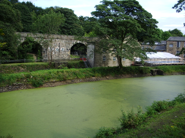
Also of interest on the Holcombe Road is the Helmshore Mills Textile Museum. The museum consists of two historic working mills: Higher Mill a wool-fulling mill and Whitaker Mill a cotton mill. You can explore the site to learn about a fascinating industry that shaped local Lancashire lives and the industrial heritage of Britain. The musueum is located very close to the pub and makes a nice addition to your outing.
Dog Walking
The hill is nice place for fit dogs and the Robin Hood Inn mentioned above is also dog friendly.
Further Information and Other Local Ideas
To continue your walking in the area head north east and enjoy a climb to the impressive Haslingden Halo. There's a striking art structure and another fine viewpoint to be found here.
To the north of the hill you'll find some nice waterside trails along Calf Hey Reservoir and Ogden Reservoir. You could follow the waymarked Rossendale Way to reach the reservoirs from the hill.
The town of Rawtenstall is also worth a visit. Here you can enjoy a riverside walk along the Irwell Sculpture Trail. There's also the excellent excellent Whitaker Museum and Art Gallery and the heritage steam trains of the East Lancs Railway to visit here.
For more walking ideas in the county see the Lancashire Walks page.


