Nant Ddu Walks
2 miles (2.6 km)

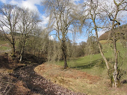
 This walk takes you through a delightfull valley near Merthyr Tydfil and Ystradfellte in the Brecon Beacons.
It's a lovely area with a series of waterfalls and cascades on a pretty stream. There are excellent views of the surrounding countryside and hills to enjoy too.
The Nant Ddu area is located between the Cantref Reservoir and Llwyn-on Reservoir. These two pretty lakes provide the opportunity of extending your walking in the area. A little further north is the Beacons Reservoir where there's more fine waterside trails to try.


