Nant-y-Ffrith Waterfall
![]()
![]() This walk in Wrexham County visits a lovely wooded valley with streams, caves and waterfalls.
This walk in Wrexham County visits a lovely wooded valley with streams, caves and waterfalls.
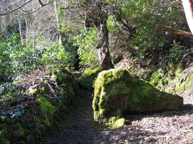
The walk starts from the village of Bwlchgwyn and heads north east to enter the forest. Here you can follow a series of woodland trails along the streams and pretty waterfalls of the area. It's great for flora and fauna with rhododendrons and various woodland birds to look out for on the way.
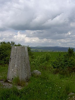
The route will take you to the northern side of the woods where you can enjoy a climb to Pen-Llan-y-Gwr. From the 378 metre high summit there are some fine views to the surrounding hills. On a clear day you can see Moel Famau in the Clwydian Range from the elevated spot.
You can extend the walk by heading west to visit the Nant-y-Ffrith Reservoir.
Nant-y-Ffrith Ordnance Survey Map  - view and print off detailed OS map
Nant-y-Ffrith Open Street Map  - view and print off detailed map
*New* - Walks and Cycle Routes Near Me Map - Waymarked Routes and Mountain Bike Trails>>
Nant-y-Ffrith OS Map  - Mobile GPS OS Map with Location tracking
Nant-y-Ffrith Open Street Map  - Mobile GPS Map with Location tracking
Further Information and Other Local Ideas
Just to the west there's the expansive Llandegla Forest where there are some good walking paths and mountain bike trails to try.
A few miles to the east there's Alyn Waters Country Park where there's woodland, riverside paths, a visitor centre, a nature reserve and trim trail to enjoy.
To the south you can pick up the Clywedog Trail where there's more riverside trails and a visit to the picturesque Nant Mill and Bersham Waterfall.
Cycle Routes and Walking Routes Nearby
Photos
Nant-y-Ffrith waterfall. The waterfall is the largest in the Flintshire / Wrexham area, the nearest other sizable waterfall being Dyserth Waterfall in Denbighshire. The lower tier is shown here.
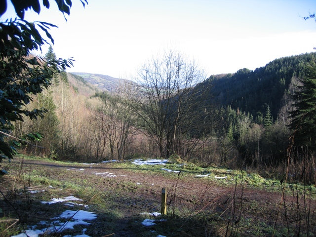
Looking down the footpath from the Nant y Ffrith Woodland and across the forestry track. The valley below carries the Nant y Ffrith stream.


