Northamptonshire Round Circular Walk
51 miles (82 km)
![]()
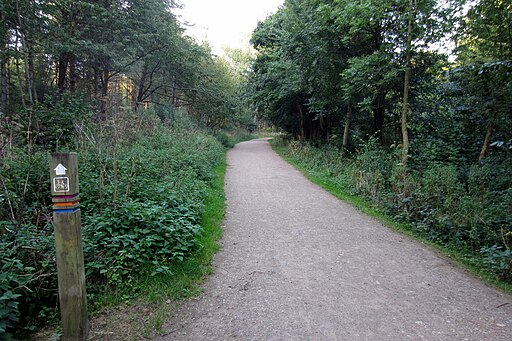
![]() This waymarked long distance walk runs for just over 50 miles through the countryside and villages surrounding Northampton.
This waymarked long distance walk runs for just over 50 miles through the countryside and villages surrounding Northampton.
The walk can be started from the visitor centre and car park at Brixworth Country Park where the trail runs along the lovely Pitsford Reservoir.
From the park you first head south west towards Harlestone where there are some pleasant woodland trails on the Harlestone Firs Forest Walk.
You continue through the countryside to the villages of Bugbrooke, Gayton, Piddington, Yardley Hastings and Sywell.
Highlights on the walk include the expansive Salcey Forest where there are miles of good cycling and walking trails. Near here you will also pass Sywell Country Park where there are some good lakeside trails.


