Oxwich to Port Eynon Coastal Walk
![]()
![]() A lovely coastal walk from Oxwich to Port Eynon on the Gower coast. It's a splendid stretch of coast with gorgeous beaches and some excellent views from the high points on the trail.
A lovely coastal walk from Oxwich to Port Eynon on the Gower coast. It's a splendid stretch of coast with gorgeous beaches and some excellent views from the high points on the trail.
The walk starts from the car park at Oxwich where you can pick up the Wales Coast Path. Follow the trail south east and it will take past the 12th century St Illtyd's Church and Oxwich Wood to Oxwich Point. The route then heads west past Holy's Wash to The Sands (Slade Bay) and Horton, with wonderful views over Port Eynon Bay on the way. You head along the lovely beach towards Port Eynon Point before turning inland to pass Overton Mere. Shortly after the route finishes in the village of Port Eynon. It's a small village but there are good facilities with fish and chops and pubs for refreshment at the end of your walk.
Postcode
SA3 1LS - Please note: Postcode may be approximate for some rural locationsOxwich to Port Eynon Ordnance Survey Map  - view and print off detailed OS map
Oxwich to Port Eynon Open Street Map  - view and print off detailed map
Oxwich to Port Eynon OS Map  - Mobile GPS OS Map with Location tracking
Oxwich to Port Eynon Open Street Map  - Mobile GPS Map with Location tracking
Pubs/Cafes
Head to the Ship Inn in Port Eynon for some post walk refreshments. The cosy pub has a nautical theme and links to the village's history of smuggling. It's though that the nearby village church was used as a hiding place for contraband around the time of the battle of Trafalgar, with kegs hidden in the altar and sometimes buried in the sand-dunes. They do excellent food and also have a lovely sun trap garden area for warmer days. You can find the inn at a postcode of SA3 1NN for your sat navs.
Dog Walking
The coastal and woodland trails on the walk are ideal for you and your dog. The Ship Inn mentioned above is also dog friendly.
Further Information and Other Local Ideas
For an alternative walk from Oxwich try the Oxwich Bay Circular Walk. This will take you to the Oxwich Burrows Nature Reserve where there are some wonderful sand dunes and lots of wildlife to see.
From Port Eynon you could continue west along the Wales Coast Path on the Rhossili to Port Eynon Walk. You could then explore the beautiful Rhossili Bay at the opposite end of the walk.
The nearby Three Cliffs Bay and the historic Pennard Castle are also nearby and well worth a visit.
Just to the east of Oxwich you can visit the delightful woodland trails at Bishopston Valley and visit the beautiful secluded beach at Pwll Du Bay.
For more walking ideas in the area see the Gower Walks page.
Cycle Routes and Walking Routes Nearby
Photos
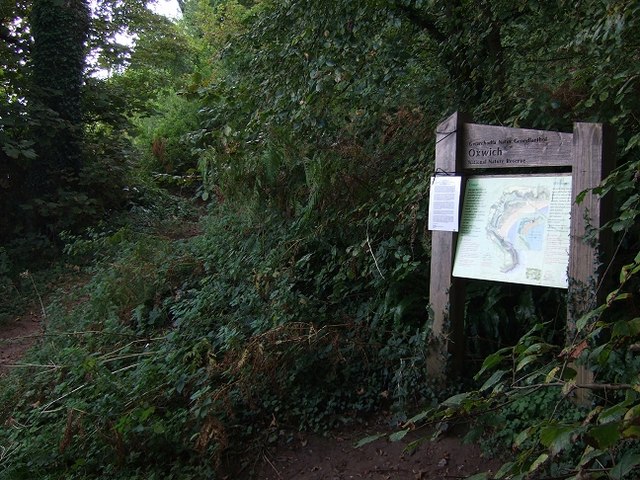
Oxwich Forest. Oxwich Bay has so many different habitats that it is one of the most diverse coastal areas in Britain. The beach, dunes, marshes and these woodlands teem with wildlife, particularly in the Spring and Summer.
Slade Bay, otherwise known as 'The Sands', is a small stretch of sand surrounded by rocks. This area is surrounded by grazing fields at the top and cliffs that drop from the coastal path straight down onto the beach. It is possible to access this beach by walking from Slade village down through the grazing fields and connecting to the coastal path. It is also possible to walk here from the same coastal path that follows around from Oxwich on the west or Horton from the east. You will have to climb down from the coastal path and over some rocks to access the beach. Compared to other beaches in Gower, Slade is perhaps one of the most inaccessible but due to this reason, it also makes it one of the quieter.
Horton, Port Eynon Bay. Horton is a little village in South Gower, set on a steep hill that stretches down to the beach. It shares the bay with Port Eynon which is located at the Western end. Like many Gower villages its roots are mainly agricultural, but Horton also has a long connection with the lifeboat and Methodism.
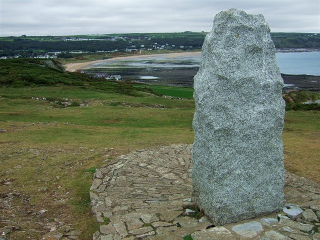
Monument atop Port Eynon Point. There is a plaque on the other side of this monument which reads : THE GOWER SOCIETY HELPED TO PRESERVE THESE CLIFFS FOR THE NATION IN MEMORY OF GWENT JONES 1910-1962 STEPHEN LEE 1889-1962. The reserve at Port Eynon Point can be accessed from the footpath on the west side of Port Eynon beach. When the tide is out, it is possible to walk onto Port Eynon Point, likened to a lunar landscape. It is not advisable to bathe off Port Eynon Point. From here you can walk East to Port Eynon Bay or West, over the top of Port Eynon Point, and down to Overton Mere and Culver Hole.
Port Eynon, which can be seen in the far distance, is the most southerly point on Gower and is thought to be named after an Eleventh Century Welsh Prince, Eynon. It is believed that he built Port Eynon castle which has disappeared over the years. Once there was a booming trade in Oyster fishing, limestone quarrying, lobstering and crabbing, but as with many little ports also came reports of smuggling. At one stage, it is thought that eight excise men were stationed in the village alone.


