Penycloddiau
![]()
![]() This circular walk climbs to the ancient hill fort at Penycloddiau in the Clwydian Range.
This circular walk climbs to the ancient hill fort at Penycloddiau in the Clwydian Range.
The route uses sections of the Offa's Dyke Path and the Clwydian Way to create a circular route to the summit.
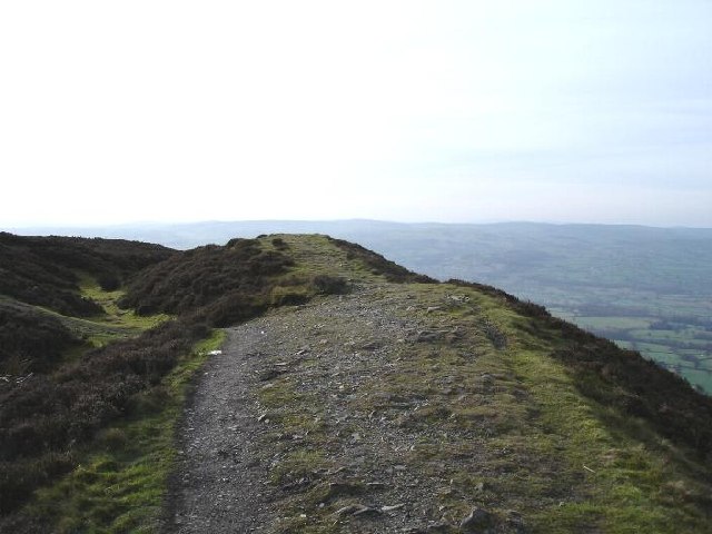
You can start the walk from the Coed Llangwyfan & Penycloddiau Car Park located just to the south east of the hill. From here you can pick up the waymarked Offa's Dyke Path and follow it north west up to the hill. Here you'll find the one of the largest Iron Age hillforts in Wales. From the elevated position of the fort there are some splendid views over the Vale of Clwyd.
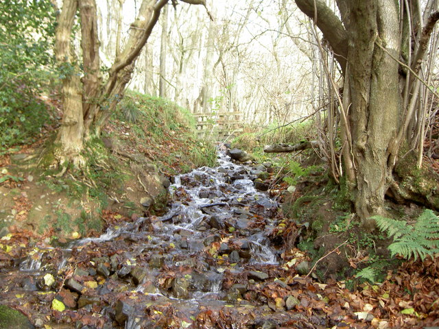
The route then continues north west towards Aifft where you can pick up the epic Clwydian Way. The trail can then be followed south along a bridle path towards Langwyfan. Here you turn east to follow a woodland trail back to the car park.
Postcode
LL16 4NB - Please note: Postcode may be approximate for some rural locationsPenycloddiau Ordnance Survey Map  - view and print off detailed OS map
Penycloddiau Open Street Map  - view and print off detailed map
Penycloddiau OS Map  - Mobile GPS OS Map with Location tracking
Penycloddiau Open Street Map  - Mobile GPS Map with Location tracking
Further Information and Other Local Ideas
To extend the walk you could follow the Offa's Dyke south east from the car park to climb the neighbouring Moel Arthur and the popular Moel Famau Country Park.
Continue north and you can visit the transmitting station on Moel Y Parc.
The hill is located just a few miles east of Denbigh where you can explore the remains of the historic 13th century castle.
Cycle Routes and Walking Routes Nearby
Photos
Ascending Penycloddiau. Offa's Dyke National Trail crosses this stile before the final onslaught to the summit.
View south from the flank of Penycloddiau. On Offa's Dyke Path, which curves to the left towards Moel Arthur. Straight ahead, the hills of the Clwydian Range slope down to the Vale of Clwyd.


