Pilgrim's Trail
![]()
![]() This medieval walk runs from Winchester to Portsmouth through Bishop's Waltham and Southwick, following in the footsteps of the Miquelots, pilgrims who made the long journey to worship St Michael in Normandy.
This medieval walk runs from Winchester to Portsmouth through Bishop's Waltham and Southwick, following in the footsteps of the Miquelots, pilgrims who made the long journey to worship St Michael in Normandy.
Pilgrim's Trail Ordnance Survey Map  - view and print off detailed OS map
Pilgrim's Trail Open Street Map  - view and print off detailed map
Pilgrim's Trail OS Map  - Mobile GPS OS Map with Location tracking
Pilgrim's Trail Open Street Map  - Mobile GPS Map with Location tracking
Cycle Routes and Walking Routes Nearby
Photos
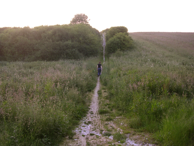
The Pilgrim's Trail on Twyford Down at dusk. Looking northwest along the Trail where it climbs Twyford Down on the way to Winchester. This bridleway forms part of a long-distance route (St Michael’s Way) between Winchester and Mont St Michel in Normandy.
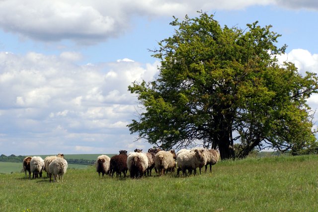
Sheep on Twyford Down This flock of sheep graze the annexe of St Catherine's Hill nature reserve that is on the eastern side of the M3 motorway cutting. The Pilgrim's Trail crosses the foreground from left to right. Beyond the thorn tree are the deeply incised 'hollow ways' leading down towards Winchester, known locally as the Dongas.
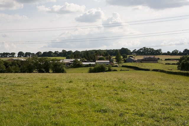
Tangier Farm, Bishop's Waltham. The Pilgrim's Trail runs across in front of the hedge in middleground.
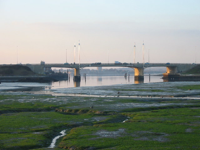
Pilgrim's Trail, Portsmouth, view looking West to Tipner Point. This view looks West across to the M275, with Portchester Castle visible beneath the bridge span and Tipner Point to the left beyond the bridge. The creek area, known as Tipner Lake, is part of a designated Ramsar site(an internationally important wildfowl habitat).
Elevation Profile

