Portrush to Portstewart Cliff Walk
![]() This popular coastal walk follows a section of the Causeway Coast from Portrush to Portstewart.
This popular coastal walk follows a section of the Causeway Coast from Portrush to Portstewart.
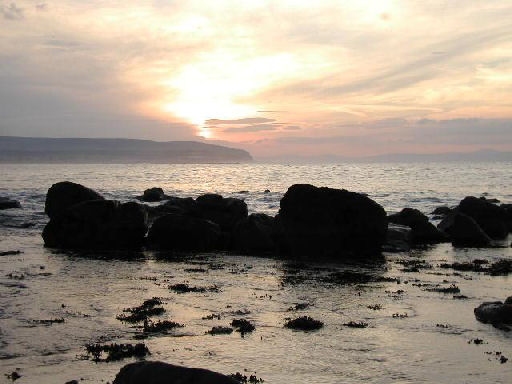
The route runs for about 9km passing along the fairly flat coastal path with wonderful views over the North Atlantic coast.
You can start the walk from the car park on the West Strand in Portrush. The train station is also near here. The walk then passes along the scenic West Strand Beach before continuing to Rinagree Point with views towards the Old Course at Portstewart Golf Club.
In Portsewart the walk passes around Harbour Hill before heading along the cliff top path where there are more fine views and scenic beaches to enjoy. The walk runs for just under 9km.
To continue your walking in the area head north east to visit the spectacular Giant's Causeway. The causeway is one of the highlights of the country with its amazing rock formations and sea views.
Portrush to Portstewart Cliff Walk Open Street Map  - view and print off detailed map
Portrush to Portstewart Cliff Walk Open Street Map  - Mobile GPS Map with Location tracking
Further Information and Other Local Ideas
To the west is the climb to Binevenagh Mountain . The area is a designated AONB and includes a pretty lake, impressive geological features and wonderful hill top views.


