Rhosneigr and Llyn Maelog Walk
![]()
![]() This circular walk explores the Anglesey village of Rhosneigr, visiting Llyn Maelog and the pretty beach.
This circular walk explores the Anglesey village of Rhosneigr, visiting Llyn Maelog and the pretty beach.
The village is located in the south-west of the island and notable as the most expensive place to live in Anglesey in terms of house prices. There are three lovely beaches including one which stretches from the Afon Crigyll estuary to the Cymyran Strait. This easy walk around the village runs for about 2 miles on a series of flat public footpaths giving fine views of the area.
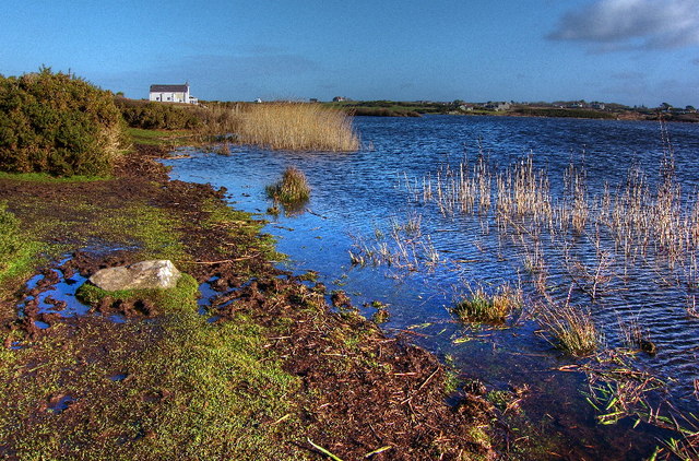
The walk starts on the eastern side of the village where you can pick up a footpath heading north along Llyn Maelog. You can follow the path around the lake before crossing the road to reach the beach. Here you can explore the beach and dunes before returning to the start point.
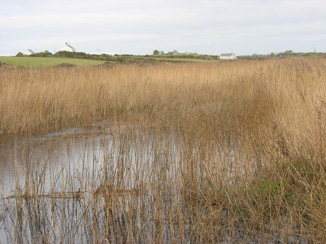
On the walk look out for a wide variety of birdlife in the reedbeds around the lake. These include Grey heron, snipe, reed warblers, coots, mallard and shelducks.
The walk is accessible from the train station at the northern end. It's a short stroll south to the lake edge from there.
Postcode
LL64 5JH - Please note: Postcode may be approximate for some rural locationsRhosneigr Llyn Maelog Ordnance Survey Map  - view and print off detailed OS map
Rhosneigr Llyn Maelog Open Street Map  - view and print off detailed map
Rhosneigr Llyn Maelog OS Map  - Mobile GPS OS Map with Location tracking
Rhosneigr Llyn Maelog Open Street Map  - Mobile GPS Map with Location tracking
Pubs/Cafes
The Glan-Neigr hotel is a nice place to go for some refreshments after your walk. The hotel has a good bar area and a beer garden outside for warmer days. You can find it on Post Office Lane, at a postcode of LL64 5JA.
Dog Walking
The area is a great for dog walking and the Glan-Neigr hotel mentioned above is also dog friendly.
Further Information and Other Local Ideas
To continue your walking in the area follow the Anglesey Coast Path south to visit Aberffraw and the adjacent Tywyn Aberffraw. This area of common land is one of the finest dune systems in the country.
Cycle Routes and Walking Routes Nearby
Photos
The Boat Pool, Rhosneigr. The sheltered area between the reefs and the land is known as "The Boat Pool".
Rhosneigr Square. The square is dominated by the war memorial clock. The paved area to the right of the clock is the village bus station. The village is served by the No 45 Rhosneigr-Llangefni service and No 25 Aberffraw-Holyhead service, each making the round trip five times daily Mon-Sat.


