Ruislip Lido Walk
![]()
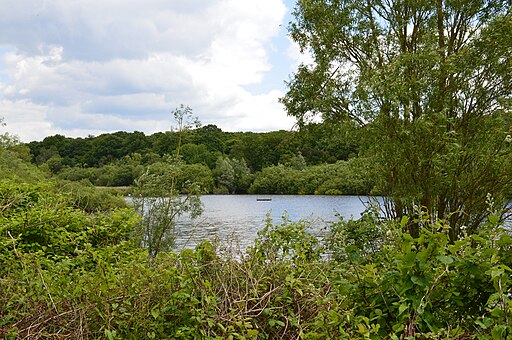
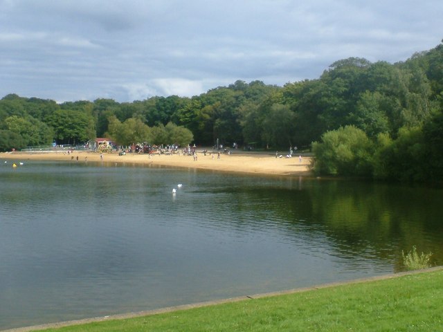
![]() Enjoy an easy circular walk around this pretty reservoir on Ruislip Common. The lake is a popular spot in the summer with its artificial beach and super Mini gauge railway. There's also nice walking trails around the water and through the adjacent woodland.
Enjoy an easy circular walk around this pretty reservoir on Ruislip Common. The lake is a popular spot in the summer with its artificial beach and super Mini gauge railway. There's also nice walking trails around the water and through the adjacent woodland.
There are two car parks on site or you can catch the tube to Ruislip tube station. Please see the link below for additional parking and public transport details.
After your walk you can enjoy refreshments at the lake side cafe and visit the Woodland Centre where you can learn about the history of the area.
It's easy to extend your walk by heading into Bayhurst Wood Country Park and Ruislip Woods. You can follow the Hillingdon Trail west through Mad Bess Woods. If you follow the trail south you will soon come to Ickenham where you can enjoy another waterside walk along the Yeading Brook.
For cyclists London Cycle Network Route 89 passes through Ruislip just to the south of the lake. You can follow the route from Uxbridge and West Drayton.
Postcode
HA4 7TY - Please note: Postcode may be approximate for some rural locationsRuislip Lido Ordnance Survey Map  - view and print off detailed OS map
Ruislip Lido Open Street Map  - view and print off detailed map
*New* - Walks and Cycle Routes Near Me Map - Waymarked Routes and Mountain Bike Trails>>
Ruislip Lido OS Map  - Mobile GPS OS Map with Location tracking
Ruislip Lido Open Street Map  - Mobile GPS Map with Location tracking
Pubs/Cafes
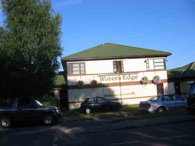
The Waters Edge pub sits in a nice location next to the car park at the lake. They have a good menu and outdoor seating with views over the water. There's also the Ruislip Lido Cafe at the south eastern edge of the lake.
You could also head into nearby Harefield and visit the splendid The Old Orchard. They have a lovely large garden area where you can enjoy a meal on finer days. From there's a wonderful view towards the surrounding countryside, rivers and lakes of the Colne Valley. They also have a charming interior with interesting old photos on the wall. They serve a good range of high quality food and have a good drinks selection as well. You can find them to the west of the lake at Park Lane with a postcode of UB9 6HJ for your sat navs.
Dog Walking
The lake and surrounding woodland are ideal for dog walking so you're bound to see other owners on your visit. Near the Woodland Centre there's also a separate dog beach where they can run and splash around. You are requested to keep them on leads on the footpath around the lake.
The Waters Edge mentioned above is also dog friendly with water and treats available.
Further Information and Other Local Ideas
Head a couple of miles west along the Hillingdon Trail and you can link up with the Colne Valley Trail near Harefield. The shared walking and cycling trail will take you along a series of pretty lakes and the River Colne.
Just south of the site you can link up with the Celandine Route. This popular walk will take you along the River Pinn from Pinner to Cowley.
For more walking ideas in the area see the London Walks page.
Cycle Routes and Walking Routes Nearby
Photos
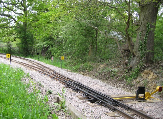
Ruislip Lido Railway. These are the points on the 12" gauge line at the eastern approach to TQ0889 : Haste Hill station and turntable. It should be noted that the railway is securely protected by high fences against casual trespass by members of the public and this image was taken either through or over the top of the fence.


