Scar House Reservoir Walk
![]()
![]() This circular walk takes you around Scar House Reservoir to Angram Reservoir in Nidderdale. The reservoir has a well surfaced footpath running around the perimeter and a car park at the eastern end. It runs for nearly 4 miles and is fairly flat so will suit most abilities. The surrounding countryside is beautiful with views of the Yorkshire Hills and the River Nidd.
This circular walk takes you around Scar House Reservoir to Angram Reservoir in Nidderdale. The reservoir has a well surfaced footpath running around the perimeter and a car park at the eastern end. It runs for nearly 4 miles and is fairly flat so will suit most abilities. The surrounding countryside is beautiful with views of the Yorkshire Hills and the River Nidd.
You can easily extend your walk by picking up the Nidderdale Way and heading along the river. Following the trail south will take you to Middlesmoor where you can visit the wonderful How Stean Gorge.
Postcode
HG3 5SW - Please note: Postcode may be approximate for some rural locationsScar House Reservoir Ordnance Survey Map  - view and print off detailed OS map
Scar House Reservoir Open Street Map  - view and print off detailed map
Scar House Reservoir OS Map  - Mobile GPS OS Map with Location tracking
Scar House Reservoir Open Street Map  - Mobile GPS Map with Location tracking
Explore the Area with Google Street View 
Pubs/Cafes
If you head south along the Nidderdale way to Middlesmoor you could enjoy some refreshments at the Crown Hotel. The traditional yorkshire pub has nice cosy log fires and good home cooked food. They also do decent accommodation if you need to stay over. You can find the pub at the top of the hill at postcode HG3 5ST.
Also near here is the How Stean Cafe at How Stean Gorge. They do lovely homely food, sourced from local farms in Yorkshire. They also make their own ice cream available in a variety of flavours and made only ½ mile away in Lofthouse, you can even see the cows that make it from the car park. When the weather is good you can sit outside on the lovely sun terrace and enjoy fine views of the area.
Cycle Routes and Walking Routes Nearby
Photos
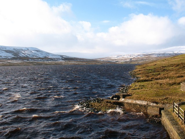
Choppy water - Scar House Reservoir. A strong wind whips up the waves at the eastern end of Scar House Reservoir. With the air temperature at 0.5 celsius and a 30 knot wind coming straight off the snowfields on Great Whernside, the conditions can best be described as 'bracing'.
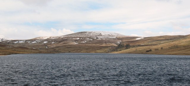
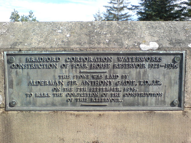
Originally constructed for Bradford Corporation, the reservoir came into operation in 1935 following the building of Scar House Dam. Looking across the reservoir towards Little Whernside, which is the most easterly 600m summit in Britain.
Choppy water - Scar House Reservoir. A strong wind whips up the waves at the eastern end of Scar House Reservoir. With the air temperature at 0.5 celsius and a 30 knot wind coming straight off the snowfields on Great Whernside, the conditions can best be described as 'bracing'.


