Seaton to Beer Walk
![]()
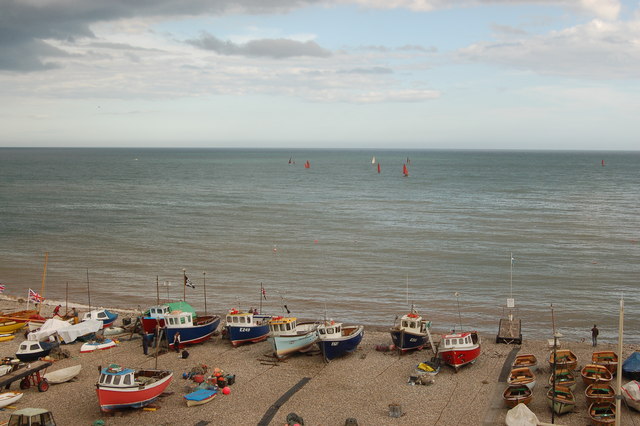
![]() This is a short but popular walk from Seaton to the nearby village of Beer. It follows a lovely section of the South West Coast Path for about 1.5 miles with a moderate climb as you approach Beer. There's lovely views over Seaton Bay, gorgeous beaches, views of the Devon countryside and some good cafes in Beer for refreshments at the end of the walk.
This is a short but popular walk from Seaton to the nearby village of Beer. It follows a lovely section of the South West Coast Path for about 1.5 miles with a moderate climb as you approach Beer. There's lovely views over Seaton Bay, gorgeous beaches, views of the Devon countryside and some good cafes in Beer for refreshments at the end of the walk.
The walk starts on the seafront in Seaton and takes you along the pretty beach before a short climb to Beer. You can return the same way or catch the bus back.
To extend the walk you can continue to Branscombe on the Branscombe to Beer Walk. To further explore the wonderful Jurassic Coast you can try the longer Sidmouth to Beer Walk which runs for about 8 miles along an undulating path.
Seaton to Beer Ordnance Survey Map  - view and print off detailed OS map
Seaton to Beer Open Street Map  - view and print off detailed map
Seaton to Beer OS Map  - Mobile GPS OS Map with Location tracking
Seaton to Beer Open Street Map  - Mobile GPS Map with Location tracking
Pubs/Cafes
The Anchor Inn in Beer is a nice place for some post walk refreshments. The main draw here is a lovely garden area with views of the coast. It's a good place to relax with a drink on a summer day. The inn is also dog friendly with water bowls placed outside. You can find the pub on Fore Street with a postcode of EX12 3ET for your sat navs.
Further Information and Other Local Ideas
The Seaton Tramway is a great way to explore the countryside further. It operates narrow gauge heritage trams between Seaton, Colyford and Colyton. There's fine views of the Axe Valley and the Axe Estuary on this scenic attraction. At the other end of the tramway you can try the Colyton Walk which takes you through the River Coly Valley on section of the East Devon Way long distance trail.
For more walking ideas in the area see the Devon Walks page.


