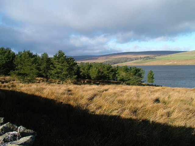
Selset Reservoir
![]()
![]() This walk visits Selset Reservoir and Grassholme Reservoir in the Pennines.
This walk visits Selset Reservoir and Grassholme Reservoir in the Pennines.
The walk starts from the car park at the north eastern corner of Selset Reservoir. From here you can follow a series of country lanes to the east of the water and enjoy views of both reservoirs.
The Pennine Way passes site. You could pick up the waymarked trail and extend your walk through Lunedale. If you follow it south you will soon come to the Balderhead, Blackton and Hury Reservoirs where there's some nice waterside trails.
Postcode
DL12 0PR - Please note: Postcode may be approximate for some rural locationsSelset Reservoir Ordnance Survey Map  - view and print off detailed OS map
Selset Reservoir Open Street Map  - view and print off detailed map
Selset Reservoir OS Map  - Mobile GPS OS Map with Location tracking
Selset Reservoir Open Street Map  - Mobile GPS Map with Location tracking
Further Information and Other Local Ideas
A few miles west of the site you can climb to Mickle Fell. The fell is significant as being the highest point within the historic county of Yorkshire and the highest point within County Durham.
For more walking ideas in the area see the North Pennines Walks page.


