Shipbourne Circular Walk
![]()
![]() This little village in Kent sits in a fine location on the Greensand Ridge and the streams of the River Bourne. Much of the village lies within the Kent Downs Area of Outstanding Natural Beauty. It is one of the most expensive places to live in the country with a very high average house price. It's also known for the Grade I listed Fairlawne House which dates from the 17th century.
This little village in Kent sits in a fine location on the Greensand Ridge and the streams of the River Bourne. Much of the village lies within the Kent Downs Area of Outstanding Natural Beauty. It is one of the most expensive places to live in the country with a very high average house price. It's also known for the Grade I listed Fairlawne House which dates from the 17th century.
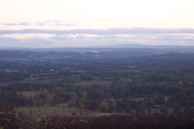
This circular walk from the village uses part of the Greensand Way to visit two of the highlights of the area at Ightham Mote and Knole Park. On the way there's bluebell woodland, hill climbs, beautiful parkland, lovely gardens and excellent views over the area from the elevated position of the ridge.
The walk starts in the village next to Shipbourne Common, where you can pick up the Greensand Way and follow the waymarked footpath north west to South Seers Wood and Igtham Mote.
After exploring the house the route continues west to Wilmot Hill, Shingle Hill, Rooks Hill, One Tree Hill and Carter's Hill before coming to Knole Park.
From the house you then head south east to Fawke Common, Bitchet Common, Stravecrow House and Broadhoath Wood where you pick up the Greensand Way again. You can then follow back past Igtham Mote to Shipbourne.
Shipbourne Ordnance Survey Map  - view and print off detailed OS map
Shipbourne Open Street Map  - view and print off detailed map
Shipbourne OS Map  - Mobile GPS OS Map with Location tracking
Shipbourne Open Street Map  - Mobile GPS Map with Location tracking
Pubs/Cafes
The Chaser is located in a nice position next to the common at the start/end of the walk. They do excellent food and have a lovely garden area overlooked by the adjacent old church. It's a fine spot to relax in during the summer months. You can find the pub at Stumble Hill with a postcode of TN11 9PE for your sat navs.
Dog Walking
The hills, common land and woods on the route are ideal for dog walking. The Chaser pub mentioned above is also dog friendly.
Further Information and Other Local Ideas
Head north from the village and there's another National Trust owned area in the shape of Oldbury Hill. Here you will find an Iron Age Hillfort, woodland walking paths and mountain bike trails.
For more walking ideas in the area see the Kent Walks and the Kent Downs Walks pages.


