Silkin Way

 Follow the Silkin Way through Shropshire and enjoy Rivers, parks and historical villages.
The path starts by Coalport Bridge on the River Severn and heads north towards Telford passing the fascinating Blists Hill Victorian Town at Madeley. The museum attempts to recreate the sights, sounds and smells of a Victorian Shropshire town in the late 19th century and early 20th century and is well worth a visit.
The path then heads through the attractive Telford Town Park and then on through the Telford town centre. You then pass through Wrockwardine Wood and Hadley Park before you come to the lovely Apley Castle Park. The park is a haven for wildlife and the feeding grounds for many species of birds, in particular the endangered Song Thrush, Jay, Woodpecker, Pheasant and Grouse. The final section then takes you through Dothill before finishing at Bratton.
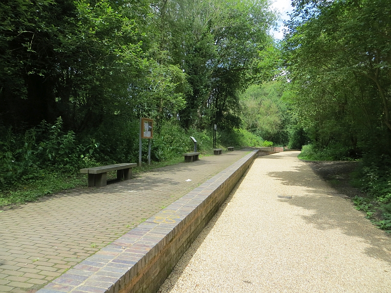
Some of the route runs along the old disused railway line so is suitable for cyclists. These sections are flat and surfaced so are ideal for families looking for an easy, safe cycle ride.
Silkin Way Ordnance Survey Map  - view and print off detailed OS map
Silkin Way Open Street Map  - view and print off detailed map
Silkin Way OS Map  - Mobile GPS OS Map with Location tracking
Silkin Way Open Street Map  - Mobile GPS Map with Location tracking
Photos
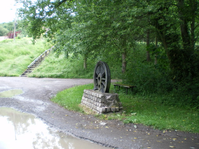
The railway wheels are used at a number of points along the 13-mile course of the Silkin Way as markers, and to pick out places of interest. The route winds its way through Telford new town, and uses the course of the old railway for much of its route. It starts (or finishes, depending upon your point of view) in the Ironbridge Gorge here at Coalport, and finishes (or starts) 13 miles away just outside Bratton on the B5063.
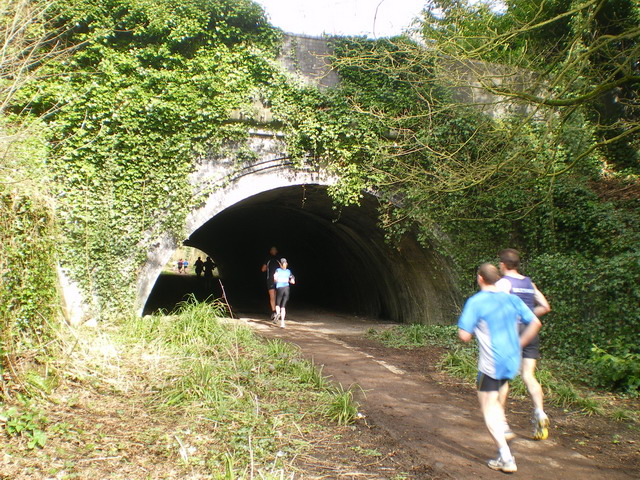
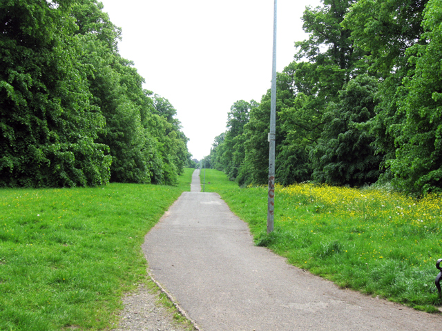
Telford Town Park. A quiet and nondescript track through the Town Park on a summer day. Some years ago, this was used for a stage in the Lombard RAC Rally - Metro 6R4s and Audi Quattros at 80mph made for a spectacular scene
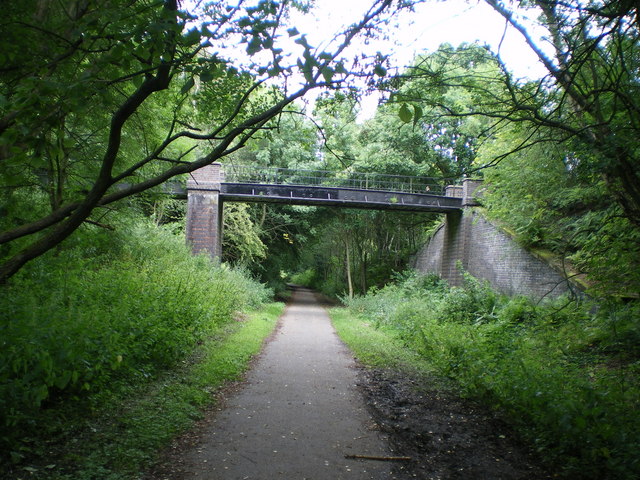
The trail was named in honour of Lord (John) Silkin, Minister for the New Towns in the 1970s. Through Telford Town Park, the route follows the old railway line, and this bridge crosses that line quite near the site of the old Ever Ready battery factory at Dawley.
