Snaefell Walk
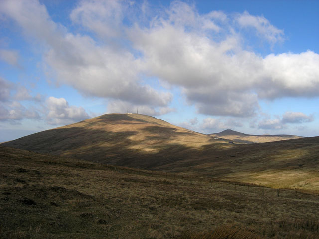
![]() Climb to the peak of the highest mountain on the Isle of Man on this short climb from the Bungalow station. It's about a one mile climb from the station which is on the excellent Snaefell Mountain Railway. Catch the railway from the town of Laxey then alight at Bungalow to climb the rest of the way. You can also drive to the Bungalow car park and start the walk from there. The trail has sections of gravel, slate stones, grass and rock. It's a short path but quite steep near the summit.
Climb to the peak of the highest mountain on the Isle of Man on this short climb from the Bungalow station. It's about a one mile climb from the station which is on the excellent Snaefell Mountain Railway. Catch the railway from the town of Laxey then alight at Bungalow to climb the rest of the way. You can also drive to the Bungalow car park and start the walk from there. The trail has sections of gravel, slate stones, grass and rock. It's a short path but quite steep near the summit.
From the 2,037 feet (620.9 m) high summit it is said you can see the six kingdoms of the Isle of Man, England, Ireland, Scotland, Wales and Heaven. A plaque points out the directions of landmarks and their distances from the summit.
At Laxey you can pick up the Isle of Man Coastal Path to extend your walk.
Snaefell Open Street Map  - view and print off detailed map
Snaefell Open Street Map  - Mobile GPS Map with Location tracking
Pubs/Cafes
The Summit Restaurant & Cafe is a nice place to enjoy some shelter and refreshments after your walk. You can enjoy a good range of sandwiches, snacks and hot drinks.
Further Information and Other Local Ideas
Just to the east is the delightful Dhoon Glen with its interesting flora and picturesque waterfalls and streams. You can reach the glen from Dhoon Glen Halt station on the Manx Electric Railway.
Near here there's also Groudle Glen. Another of the Manx National Glens this area includes the popular Groudle Glen Railway, a delightful miniature railway run by local enthusiasts.
For more walking ideas in the area see the Isle of Man Walks page.
Cycle Routes and Walking Routes Nearby
Photos
Summit Station. One of the highest British railway stations at 2036 feet. This is the terminus of the electric railway leading from Laxey to the summit.
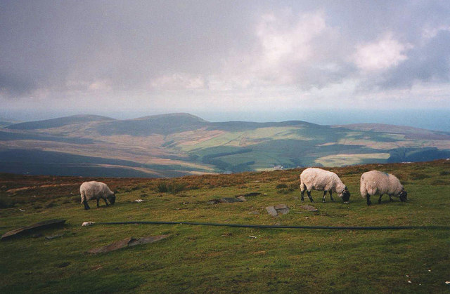
The Western slopes. Looking west to the Sulby Reservoir. Slieau Freoaghane in the distance on the left.
Western side of the summit. Looking westwards to Druidale and the hills of (from left to right) Sartfell, Slieau Freoaghane and Slieau Dhoo.


