St Fillans to Comrie Railway Walk

 This walk takes you along the old St Fillans and Comrie Railway from St Fillans to Dalchonzie and Comrie. Along the way you'll pass the old stations and viaducts with views of the River Earn and the surrounding hills to enjoy as well.
You start off in the little village of St Fillans on the eastern shores of Loch Earn. Here you can still see the well preserved old St Filans station buildings which closed in 1951.
The route then follows the dismantled railway line south east, passing St Fillans Hill and crossing the River Earn as you approach Dalchonzie. Here the walk picks up a quiet country lane taking you past Dalchonzie House and then into Comrie. To extend the walk head north to visit the splendid Deil's Cauldron. Here you'll find a cascading waterfall and several pools resembling a boiling cauldron.
To continue your walking in the area try the Loch Earn Walk which takes you to a fine viewpoint above the loch. You could also pick up the Lochearnhead to St Fillans Railway Walk which will take you west along another section of the railway to Lochearnhead.
St Fillans to Comrie Railway Ordnance Survey Map  - view and print off detailed OS map
St Fillans to Comrie Railway Open Street Map  - view and print off detailed map
St Fillans to Comrie Railway OS Map  - Mobile GPS OS Map with Location tracking
St Fillans to Comrie Railway Open Street Map  - Mobile GPS Map with Location tracking
Cycle Routes and Walking Routes Nearby
Photos
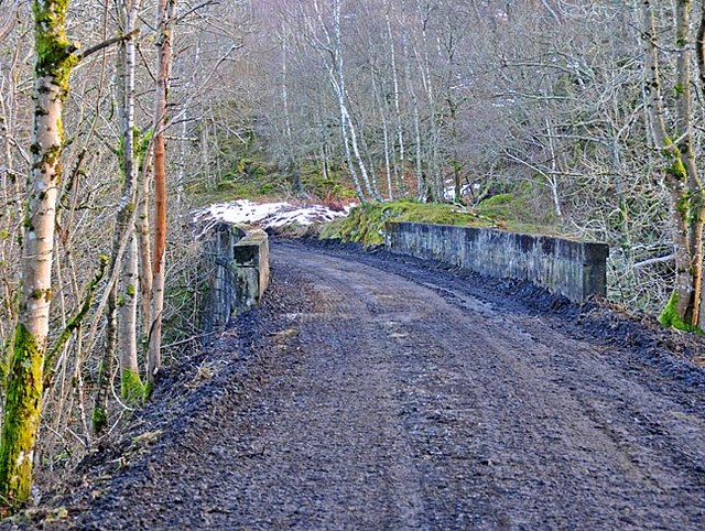
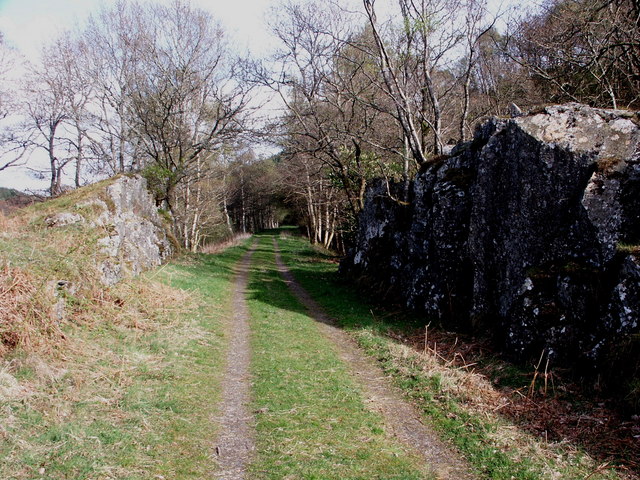
Dismantled railway near River Earn, Dalchonzie, Perthshire. The railway which once connected Loch Earn, and beyond, with Perth was a victim of the Beeching cuts in the 1960s. The old track has been removed to provide a delightful path for walkers along parts of the route from Comrie to St Fillans, thus avoiding the busy main road and revealing parts of the river not visible from the roadway.
Station approach, St Fillans. The station as such has been disused for many years but has become a static caravan site. Concrete abutments of the railway embankment to the right.


