Stoke Fleming To Dartmouth Walk
4 miles (6.4 km)

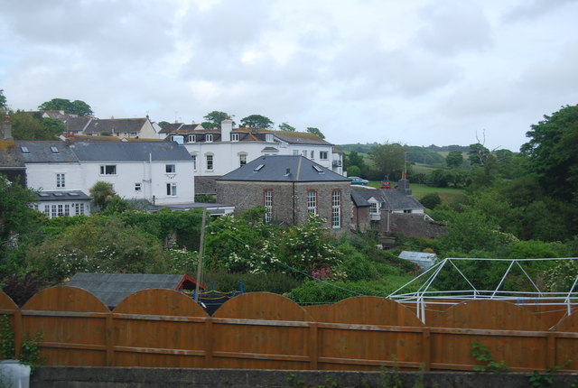
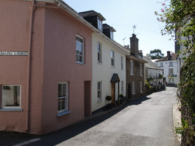
 This small Devon village is located near Dartmouth on the South West Coast Path.
From the village you can stroll down to the popular Blackpool Sands and enjoy a beautiful beach, wooded cliffs and turquiose seas. Due to its splendid clifftop location there are some excellent coastal views to enjoy from the village.
This walk along the coast path takes you to nearby Dartmouth on a 4 mile stretch of the National Trail. On the way you will pass the historic Dartmouth Castle and enjoy fine views over the River Dart estuary.
Postcode
TQ6 0PX - Please note: Postcode may be approximate for some rural locationsStoke Fleming Ordnance Survey Map  - view and print off detailed OS map
Stoke Fleming Open Street Map  - view and print off detailed map
Stoke Fleming OS Map  - Mobile GPS OS Map with Location tracking
Stoke Fleming Open Street Map  - Mobile GPS Map with Location tracking
Walks near Stoke Fleming
- Blackpool Sands - Visit the popular Blackpool Sands beach and enjoy a circular walk to Strete on this coastal route near Stoke Fleming
- Dartmouth and the Dart Estuary - Enjoy one of the finest areas of Devon on this waterside walk in Dartmouth
- Dartmouth to Dittisham - If you are visiting Dartmouth then this is a lovely walk to try
- Slapton Ley - This walk takes you along Slapton Sands and the Slapton Ley National Nature Reserve in Devon
- Coleton Fishacre - This circular walk explores the beautiful Coleton Fishacre gardens before picking up the South West Coast Path for a stretch along the coast.
- Tuckenhay - Tuckenhay is a pleasant little hamlet in South Devon
- Kingswear to Greenway Walk - This walk takes you along a section of the Dart Valley Trail from Kingswear to the National Trust's Greenway House
- Torcross to Beesands and Start Point - This small coastal village in Devon sits in a lovely spot next to the large lake in the Slapton Ley Nature Reserve.
Pubs/Cafes
The Green Dragon is a fine old village pub with a lovely garden area to relax in. They serve good home cooked food and can be found at postcode TQ6 0PX for your sat navs. The pub is also dog friendly.


