Stour and Orwell River Walk with OS Map
![]()
![]() Follow the Rivers Orwell and the Stour on this walk through the Suffolk Coast and Heaths Area of Outstanding Natural Beauty.
Follow the Rivers Orwell and the Stour on this walk through the Suffolk Coast and Heaths Area of Outstanding Natural Beauty.
The walk begins on the Suffolk Coast at Felixstowe and soon turns north along the River Orwell for a waterside stretch towards Ipswich, passing the riverside Orwell Country Park, the lovely beach at Nacton Shores and Trimley Marshes Nature Reserve on the way. You then turn south along the western side of the Orwell towards Shotley Gate where you join the River Stour for the final stretch to Cattawade. This section passes the delightful Pin Mill where you can see lots of little boats in the river and enjoy refreshments at the 17th century Butt and Oyster pub.
The trail is fairly flat for most of the way and runs for just over 40 miles.
Please click here for more information
Stour and Orwell Walk Ordnance Survey Map  - view and print off detailed OS map
Stour and Orwell Walk Open Street Map  - view and print off detailed map
*New* - Walks and Cycle Routes Near Me Map - Waymarked Routes and Mountain Bike Trails>>
Stour and Orwell Walk OS Map  - Mobile GPS OS Map with Location tracking
Stour and Orwell Walk Open Street Map  - Mobile GPS Map with Location tracking
Pubs/Cafes
In the prettty village of Levington a break at the The Ship Inn is highly recommended. It's an historic pub of some note, dating all the way back to the 14th century. The pub sits in a lovely spot, overlooking the Orwell River and next to the 16th century St Peter's Church. There's a charming interior with low ceilings and original beams as well as the warmth from the log burner. There's also pictures of sailing ships on the walls to add to the nautical theme. If the weather is good there's a decent outdoor area to relax in. You can find the picturesque thatched inn on Church Lane with a postcode of IP10 0LQ for your sat navs.
Cycle Routes and Walking Routes Nearby
Photos
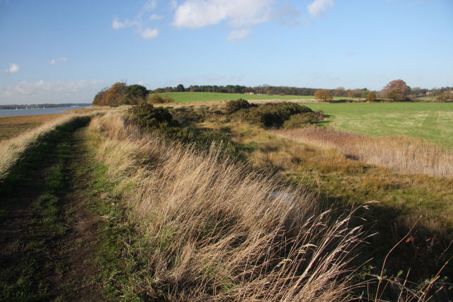
River Stour from the clifftop, east of Cattawade. The waymarked Stour and Orwell Walk is sited on the low wooded cliff, from where there is an excellent view upstream of the River Stour, together with the remains of a former jetty.
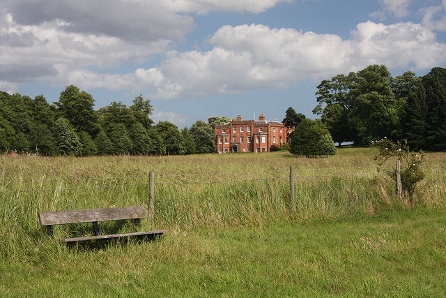
Two country seats. The more imposing 'seat' is Broke Hall, the former home of naval hero Captain Philip Broke. The wooden seat is one of a pair, close to the trail. It overlooks the River Orwell and the village of Pin Mill on the opposite bank.
Elevation Profile


