Stow on the Wold to the Slaughters Walk

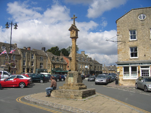
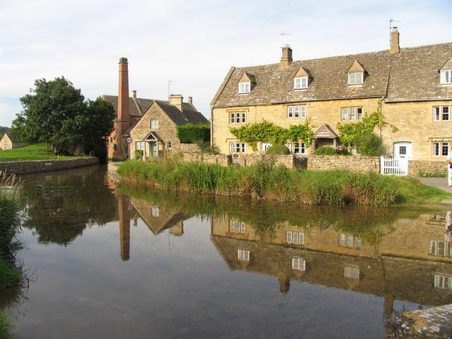
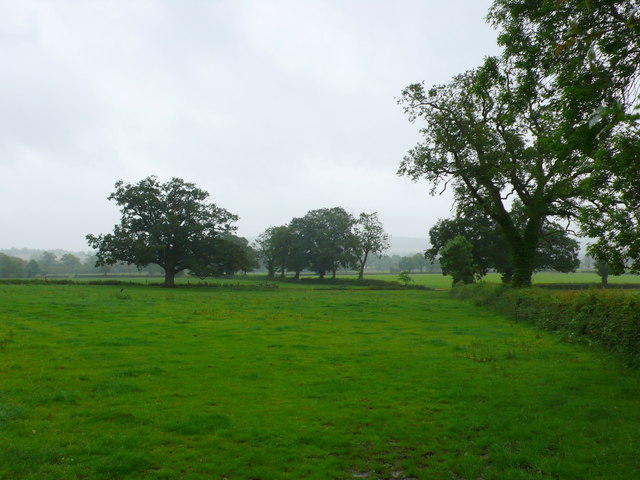
 This walk visits some of the loveliest villages in the Cotswolds as you travel from Stow on the Wold to The Slaughters. The route uses the waymarked Gloucestershire Way to take you through the countryside to the two neighbouring villages. The route runs for just under 4 miles with views of the rolling hills and three quintesentially English villages to enjoy. You'll also pass the picturesque Hyde Mill where there's a pretty bridge and lake with views of the River Dikler.
You could extend the walk by continuing south along the path to the ever popular Bourton on the Water.
Stow on the Wold to the Slaughters Walk Ordnance Survey Map  - view and print off detailed OS map
Stow on the Wold to the Slaughters Walk Open Street Map  - view and print off detailed map
Stow on the Wold to the Slaughters Walk OS Map  - Mobile GPS OS Map with Location tracking
Stow on the Wold to the Slaughters Walk Open Street Map  - Mobile GPS Map with Location tracking
Pubs/Cafes
Back in Stow be sure to pay a visit to Britain's oldest pub at the Porch House. The inn has an interesting history dating all the way back to the 10th century when it was thought to have been a hospice built on on land belonging to Evesham Abbey. The interior has bags of old character with wonky ceilings and a very fine 16th century fireplace. They do excellent food and also provide accommodation if you need to stay over. There's also an outdoor area for finer days. You can find the historic inn on Digbeth Street with a postcode of GL54 1BN for your sat navs.


