Sutton Reservoir and Danes Moss Walk
![]()
![]() This walk visits Sutton Reservoir and the and Danes Moss Nature Reserve in Macclesfield.
This walk visits Sutton Reservoir and the and Danes Moss Nature Reserve in Macclesfield.
The reservoir and the reserve are located within walking distance of each other so the two scenic destinations make for a pleasant walk.
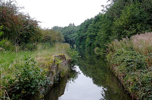
The walk starts at the eastern end of Sutton Reservoir where there is a layby for cars to park. This is located about a mile south west of the village of Sutton Lane Ends. From the layby you can pick up trails heading west along the reservoir with nice views across the water.
At the western end there's a nice grassy path along the reservoir outflow leading towards the Broadhurst Swing Bridge on the Macclesfield Canal. Cross the bridge and follow the towpath north and it will take you towards Danes Moss. There's boardwalks here taking you over the reserve's lowland raised bog. There's also heathland and woodland with 11 species of dragonfly and damselfly to look out for. It's a rare site with great birdwatching opportunities as well.
The walk passes very close to the village of Gawsworth. The village includes three noteworthy historic buildings including the 15th century Gawsworth Hall. The house and grounds of the historic Tudor house are well worth exploring. You can find Gawsworth just to the south west of the route.
Postcode
SK11 0HZ - Please note: Postcode may be approximate for some rural locationsSutton Reservoir and Danes Moss Ordnance Survey Map  - view and print off detailed OS map
Sutton Reservoir and Danes Moss Open Street Map  - view and print off detailed map
Sutton Reservoir and Danes Moss OS Map  - Mobile GPS OS Map with Location tracking
Sutton Reservoir and Danes Moss Open Street Map  - Mobile GPS Map with Location tracking
Dog Walking
The reservoir and the reserve are popular with dog walkers.


