Tamworth Canal Walk
![]()
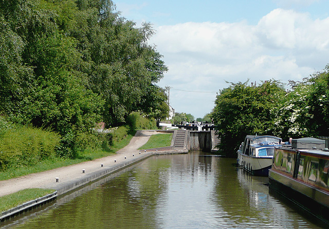
![]() This walk follows the towpath of the Coventry Canal through Tamworth, from Fazeley Junction to Pooley Country Park. It's a very pleasant section of the canal, running for just over 4 miles with pretty locks, barges, old bridges and tree lined sections.
This walk follows the towpath of the Coventry Canal through Tamworth, from Fazeley Junction to Pooley Country Park. It's a very pleasant section of the canal, running for just over 4 miles with pretty locks, barges, old bridges and tree lined sections.
The walk starts at Fazeley Junction where the Birmingham and Fazeley Canal terminates and meets the Coventry Canal. Follow the towpath north east, passing the aqueduct over the River Tame before you make your way through Tamworth. You'll pass Bolehall and the impressive Glascote lock flight before coming to Amington. Here you can visit the Grade II listed St Editha's Church which is noted for its stained glass windows.
The route continues through the Alvecote Marina to the fascinating ruins of Alvecote Priory. The Benedictine Priory was founded in 1159 with the main entrance arch still standing at around 20 feet high.
The walk finishes shortly after in Pooley Country Park where there are a number of pretty lakes with lots of wildlife to see on the water.
You can extend the walk by continuing through the park and along the canal to Polesworth and Atherstone.
At the other end of the route you can pick up the Birmingham and Fazeley Canal and follow it into the city of Birmingham.


