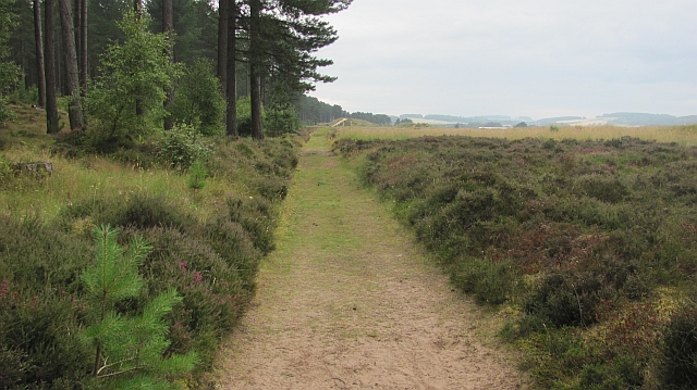
Tayport To Tentsmuir and Leuchers Walk
9 miles (14.5 km)

 This walk follows a section of the Fife Coastal Path from Tayport to Leuchers via the Tentsmuir Forest.
The walk runs for a distance of just over 9 miles on a fairly flat path. On the way you will enjoy peaceful woodland trails and fine coastal views of Tentsmuir Sands and the Tentsmuir Point Nature Reserve. This area is great for wildlife with red squirrels and roe deer to look out for in the woods.
Much of the route is also a cycle path along Sustrans National Cycle Route 1.
To extend your exercise pick up the St Andrews To Leuchars Walk which takes you along the wildlife rich Eden Estuary and the famous St Andrews golf course. For the final section of the coast path see the Tayport to Newburgh Walk.


