Three Castles Path
![]()
![]() This long distance trail takes you from the castle at Windsor to the castle at Winchester, passing Odiham Castle on the way. It tuns for just over 60 miles passing forested areas, country parks, canals, lakes and a series of historic sites.
This long distance trail takes you from the castle at Windsor to the castle at Winchester, passing Odiham Castle on the way. It tuns for just over 60 miles passing forested areas, country parks, canals, lakes and a series of historic sites.
The route starts at Windsor Castle where you begin by heading south along the Long Walk in Windsor Great Park.
After leaving the park you follow trails south west to the famous racecourse at Ascot and Bracknell Forest. The path takes you through the expansive forest, passing Englemere Pond and Swinley Forest before coming to Sandhurst village where you can try some pleasant waterside trails at Tri Lakes Country Park, Horseshoe Lake and Shepherds Meadows Nature Reserve.
You continue south across Warren Heath and Bramshill Forest to Hartley Wintney and Dogmersfield Park where you can enjoy a stroll on the towpath of the Basingstoke Canal.
Near here you will pass one of the highlights and inspirations for the walk at Odiham Castle. The now ruined castle was built by King John in the early part of the 13th century. The King rode from the site to Runnymede, to seal the Magna Carte in 1215.
The trail continues west to Greywell, Upton Grey, Ellisfield, Upper Wield and Abbotstone Down before coming to Itchen Abbas. Here you can try another waterside stroll along the River Itchen into Winchester where the route finishes.
Three Castles Path Ordnance Survey Map  - view and print off detailed OS map
Three Castles Path Open Street Map  - view and print off detailed map
Three Castles Path OS Map  - Mobile GPS OS Map with Location tracking
Three Castles Path Open Street Map  - Mobile GPS Map with Location tracking
Further Information and Other Local Ideas
The path links up with the Itchen Way and the Oxdrove Way towards the end of the route.
Just outside Basingstoke the path skirts the southern edge of Hackwood Park. The Grade I listed park is worth a small detour with public footpaths taking you past the estate which includes an ornamental bridge, fountains, a statue of George I, deer and the impressive Hackwood House. Just to the east of the park you can pick up the circular Mapledurwell Walk and visit the pretty villages of Mapledurwell and Upton Grey.
Cycle Routes and Walking Routes Nearby
Photos
King John's Castle. A shadow of a pine falls on the decaying walls of King John's Castle, North Warnborough. Apparently this was where King John spent the night before he journeyed to Runnymede to sign the Magna Carta in 1215. Sadly, the public are now kept out by a wire-mesh fence. This is one of the castles that give the Three Castles Path its name. The long-distance footpath runs from Windsor to Winchester via North Warnborough.
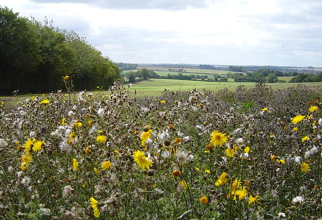
The Three Castles Path runs here as a byway along the edge of a wood (Godsfield Copse) with the land sloping gently to the right (south) offering extensive views. Here we are looking east towards Armsworth Hill Farm (central horizon) which is out of square, but everything up to the brown field is in the square.
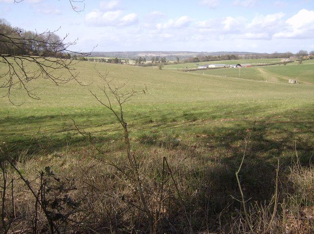
Towards Wield Wood Farm. Taken from the trail where it meets Barton Copse at the eastern side of the square. Looking north down a U-shaped valley shown here towards Wield Wood Farm in the middle distance (right). The edge of Wield Wood is visible (left) and the small hut on the extreme right is a pump house on the boundary between this square and the next one.


