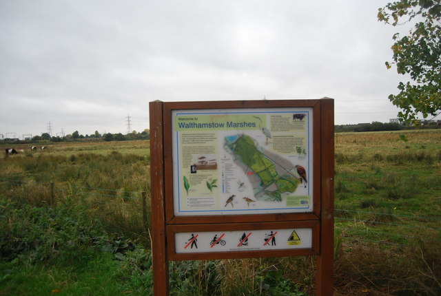
Walthamstow Reservoirs, Marshes and Wetlands Walk

 Enjoy a waterside walk or cycle along this series of reservoirs in the Walthamstow Wetlands Nature Reserve. A traffic free cycle path runs along the River Lea Navigation Canal from Walthamstow Marshes to Banbury Reservoir. It follows National Cycle route 1 along the Lea Valley Walk passing Lockwood Reservoir, High Maynard Reservoir, Low Maynard Reservoir, East Warwick Reservoir and West Warwick Reservoir. The route starts at the Lea Valley Springfield Marina and follows the flat path to Tottenham Marshes for about 3 miles. It's a nice easy walk or ride with the option of continuing to Lea Valley Park and the William Girling Reservoir.
The area is great for wildlife with a heronry and various other water loving birds to look out for. These include pochard, tufted duck, coot, yellow wagtail, sedge warbler, great crested grebe and reed warbler.
The area is also very popular with anglers providing both coarse fishing and fly fishing.
You can extend your walk by picking up the Pymmes Brook Trail at William Girling Reservoir. The trail heads west towards Edmonton and Pymmes Park.
If you continue north along the river you will come to the splendid River Lee Country Park where you will find a series of footpaths and cycle trails taking you to lakes, watercourses and open spaces.
Postcode
E5 9EF - Please note: Postcode may be approximate for some rural locationsWalthamstow Reservoirs Ordnance Survey Map  - view and print off detailed OS map
Walthamstow Reservoirs Open Street Map  - view and print off detailed map
Walthamstow Reservoirs OS Map  - Mobile GPS OS Map with Location tracking
Walthamstow Reservoirs Open Street Map  - Mobile GPS Map with Location tracking
Pubs/Cafes
Just north of Banbury Reservoir there's The Old Hall Tavern next to the William Girling Reservoir in Chingford. There's a great menu and a lovely big garden area to sit out in if the weather is fine. You can find them at 200 Hall Lane with a postcode of E4 8EY for your sat navs.
Dog Walking
The area is nice for dog walking and the Old Hall Tavern mentioned above is also dog friendly.
Further Information and Other Local Ideas
Just to the west of the reservoirs you'll find the pretty Finsbury Park where's more lakeside trails. Here you can also pick up the popular Parkland Walk. The walk follows the course of an old railway line running between Finsbury Park and Alexandra Park. The whole route is actually a local nature reserve and a great place to see interesting flora and fauna in the city.
The Green Link Walk passes the reservoirs. This waymarked trail takes you from the edge of Epping Forest to Peckham, passing a number of London's pleasant Green spaces on the way.
For more walking ideas in the area see the London Walks page.
Cycle Routes and Walking Routes Nearby
Photos
Walthamstow Coppermill at the southern end of the reservoirs. This was a former oil mill and was acquired by the British Copper Company in 1808 for rolling copper ingots into sheets for general use and coinage. The site was water powered. Rolling mill ceased 1857 and bought by the East London Waterworks that used the wheel to pump water. It also added the tower to accommodate a Bull pumping engine. An ancient wooden crane is out of view to the left but appears overwhelmed by foliage. See A Guide to the Industrial Archaeology of Hertfordshire and the Lea Valley by Tim Smith and Bob Carr (2004).


