Watership Down Walk
![]()
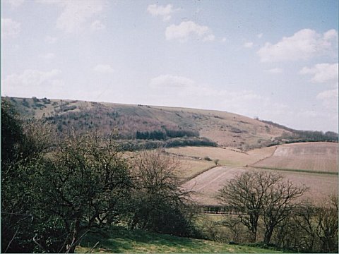
![]() Climb this hill made famous by Richard Adams' 1972 novel 'Watership Down'. The hill is located about 2 miles south west of the village of Kingsclere. The downs are popular with walkers and cyclists with good footpaths and bridleways crossing the area.
Climb this hill made famous by Richard Adams' 1972 novel 'Watership Down'. The hill is located about 2 miles south west of the village of Kingsclere. The downs are popular with walkers and cyclists with good footpaths and bridleways crossing the area.
This walk starts at the White Hill car park off the B3051 just south of Kingsclere. You then pick up the Wayfarer's Walk long distance footpath to take you to the 237m hill summit. The path passes White Hill and The Warren on the way to Watership Down. It's a beautiful area with wonderful views over the surrounding countryside and the Sydmonton Court estate. The estate consists of a 16th century Tudor manor house and is home to the summer arts Sydmonton Festival. This walk finishes at the Watership Down Hill summit but you could extend the route by heading north along public footpaths to Sydmonton. You could also turn it into a circular walk by heading south from just east of the hill summit and then following country lanes and bridleways back round to the car park. If you continue west along the Wayfarer's Walk then you will pass the wonderful Highclere Castle. The house is famous as the location of period drama 'Downton Abbey'. It is surrounded by a 5000 acre estate with nice walking trails including a climb to the splendid viewpoint at Beacon Hill.
Less than a mile away to the west is Ladle Hill where you will find a well preserved hill fort.
Watership Down Ordnance Survey Map  - view and print off detailed OS map
Watership Down Open Street Map  - view and print off detailed map
Watership Down OS Map  - Mobile GPS OS Map with Location tracking
Watership Down Open Street Map  - Mobile GPS Map with Location tracking
Pubs/Cafes
You could head into Kingsclere and enjoy some refreshments at The Crown. The classic village pub includes a cosy interior with a log fire for the winter days. In warmer weather there's the outdoor area where you can sit and watch the world go by. They have a good menu and can be found at postcode RG20 5QU for your sat navs.
The circular walk from Ecchinswell visits the Down. In the pretty village you could visit The Royal Oak. The pub serves good quality traditional pub food and includes a particularly huge beer garden. The inn can be found at postcode RG20 4UH for your sat navs.
Dog Walking
The area is a great place to walk your dog and the Crown pub mentioned above is also dog friendly.
Further Information and Other Local Ideas
For a longer circular walk you could try the Kingsclere Walk which starts from the nearby village. The route visits the Hannington TV transmitter and Freemantle Park Down to the east of the Down. The village is also worth exploring with many historic buildings including a Norman church.
For more walking ideas in the area see the Hampshire Walks page.
Cycle Routes and Walking Routes Nearby
Photos
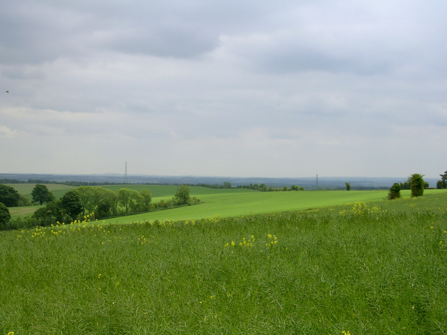
Watership Down. Looking south over a rape crop on the downland. This side of the downs is suitable for agriculture, whereas the steep-sided north-facing side is covered with trees.


