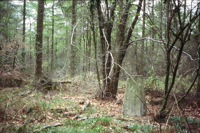
Wentwood Forest
![]()
![]() Wentwood Forest is located a few miles north east of Newport in South Wales.
Wentwood Forest is located a few miles north east of Newport in South Wales.
The expansive forest has miles of good woodland trails with bridleways and tracks that are also suitable for mountain bikers. Highlights include the lovely bluebells in the spring and fine views of the Severn Estuary from the high points in the forest. The area is also great for wildlife enthusiasts with 75 species of bird, including rare turtle doves, nightjars and spotted flycatchers to look out for on your visit.
This circular walk in the woods explores the eastern area of the forest before heading to the picturesque Wentwood Reservoir which lies on its southern fringes.
The walk starts from the Cadira Beeches car park in the heart of the forest at postcode NP26 3BA. Paths will take you around the eastern section before doubling back to visit the reservoir. You can follow paths around the water and climb to Gray Hill where there are fine views over the forest and the surrounding countryside. You then head north through Foresters Oaks to return to the car park.
Postcode
NP26 3BA - Please note: Postcode may be approximate for some rural locationsPlease click here for more information
Wentwood Forest Ordnance Survey Map  - view and print off detailed OS map
Wentwood Forest Open Street Map  - view and print off detailed map
Wentwood Forest OS Map  - Mobile GPS OS Map with Location tracking
Wentwood Forest Open Street Map  - Mobile GPS Map with Location tracking
Pubs/Cafes
Head to the Glade Tearooms for some refreshments after your exercise. Here you can enjoy homemade locally-sourced food in the heart of Wentwood Forest. You can find the tea rooms on Grey Hill Road at a postcode of NP26 3AZ for your sat navs.
Dog Walking
As you'd expect the trails in the woods are ideal for dog walking so you're likely to see other dogs on your visit. The Glade tea rooms mentioned above are also dog friendly and can also provide treats for your pet.
Further Information and Other Local Ideas
The Caerleon Walk explores the nearby town with its significant Roman Fortress and river walks along the Usk. It then climbs Chepstow Hill before exploring the western part of the woods and climbing to the viewpoint near the car park.
The woods are also located close to Newport and Chepstow where there are more good trails. You could try a waterside stroll along the Newport Canal Walk or visit the historic castle on the Chepstow Walk.
You can pick up the Usk Valley Walk near the forest too. This will take you along the River Usk into the town of Usk if you follow it north.
Cycle Routes and Walking Routes Nearby
Photos
Wentwood Forest The coniferous woodland cloaking the crest of Wentwood hill looks black when viewed, like this, from the north. The whole is a distinctive feature of the drive south on the A449 towards Newport.
Path up to Gray Hill, Wentwood Looking down towards the farm at Foresters Oaks. Just visible on the left is the Usk Road and buildings at Coed-gwent.


