Westerham Walk
![]()
![]() Westerham is located in the Sevenoaks District of Kent, a great location for exploring the beautiful Kent Downs. This 8 mile circular walk makes use of the Greensand Way and other footpaths to visit Chartwell House and Toys Hill, two of the major highlights of the area.
Westerham is located in the Sevenoaks District of Kent, a great location for exploring the beautiful Kent Downs. This 8 mile circular walk makes use of the Greensand Way and other footpaths to visit Chartwell House and Toys Hill, two of the major highlights of the area.
The walk starts from the town centre where you can pick the Greensand Way, waymarked footpath. Follow the trail south and it will soon take you past the noteworthy Squerryes Court. The late 17th-century manor house is surrounded by extensive gardens and parkland and is a grade I listed building.
You continue south along woodland trails to Goodley Stock and Crookhammill Common where there are nice views toward Edenbridge.
The route turns east here to take you past Mariners Hill toward Chartwell. You can take a small detour from the route to visit the house which was the family home and garden of Sir Winston Churchill. There's much to see here with hillside gardens, pretty lakes created by Churchill himself, a kitchen garden which produced fruit and vegetables for 10 Downing Street.
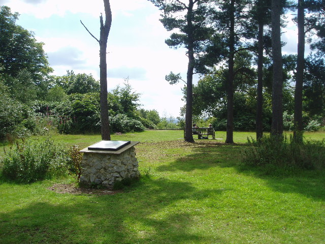
The route continues north east to French Street before turning south east to visit Toys Hill. The popular hill is the highest point on the Kent Downs and commands wonderful views over the Weald of Kent. The area is one of the National Trust's first properties with the estate now occupying more than 200 acres.
After taking in the views the route heads to another highlight of the area at Emmetts Garden. The delightful 19th century garden contains many exotic trees and shrubs from around the world. It's a lovely place for a stroll, with well laid out footpaths taking you to an arboretum, exotic shrubs, a rose garden and a rock garden.
After exploring the garden you head west to Hosey Common and Hosey Hill before returning to the town centre.
Westerham Ordnance Survey Map  - view and print off detailed OS map
Westerham Open Street Map  - view and print off detailed map
*New* - Walks and Cycle Routes Near Me Map - Waymarked Routes and Mountain Bike Trails>>
Westerham OS Map  - Mobile GPS OS Map with Location tracking
Westerham Open Street Map  - Mobile GPS Map with Location tracking
Further Information and Other Local Ideas
The popular Oxted Circular Walk passes the town and provides a good opportunity for further exploring the area. The 10 mile walk visits Limpsfield Common and climbs along the Greensand Way for fine views over the High Weald and North Downs.
To the north is Betsoms Hill, the highest point in the county of Kent. This area also includes Westerham Heights, the highest point of Greater London.


