Wether Fell Walk
![]()
![]() This walk takes you up to Wether Fell and Drumaldrace Hill in the Yorkshire Dales National Park.
This walk takes you up to Wether Fell and Drumaldrace Hill in the Yorkshire Dales National Park.
The route starts and finishes in Bainbridge but you could also start from the village of Burtersett as the route passes through the settlement.
From Bainbridge you can follow the Cam High Road all the way to the fell. The old Roman Road will take you south west across Bainbridge High Pasture, passing Horton Gill Force Waterfall on the way.
At Wether Fell there is a circular bridle track running around the fell to Drumaldrace and Wether Fell Side. You'll reach a high point of 614 metres (2,014 ft) with wonderful views over the area.
Wether Fell Ordnance Survey Map  - view and print off detailed OS map
Wether Fell Open Street Map  - view and print off detailed map
Wether Fell OS Map  - Mobile GPS OS Map with Location tracking
Wether Fell Open Street Map  - Mobile GPS Map with Location tracking
Cycle Routes and Walking Routes Nearby
Photos
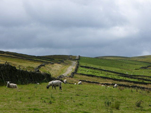
Alongside Roman road near Bainbridge. This was the route taken by the Richmond to Lancaster Turnpike between 1751 and 1795, before the turnpike was diverted through Hawes, and then over Widdale to the Ribble Valley.
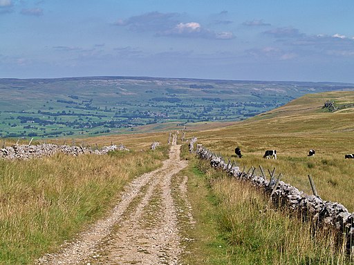
Bridleway which circles Wether Fell. The geology of the fell is mostly limestone with some small outcrops of millstone grit.


