Whistling Sands Walk

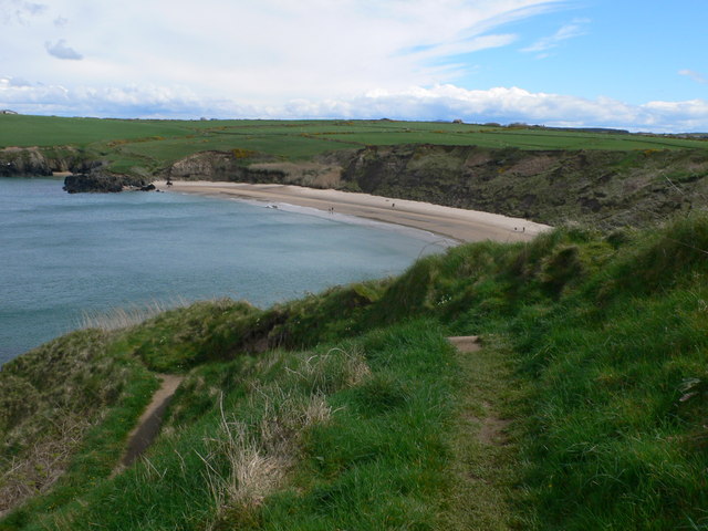
 This circular walk visits Traeth Porthor or Whistling Sands on the Llyn Peninsula. The beach is a popular place with crystal turquoise water and golden sands flanked by steep cliffs. The walking route below additionally climbs to the fine viewpoint on Mynydd Carreg above the beach.
The National Trust run area has a public car park where you can start your walk. You can then follow footpaths up to Mynydd Carreg and enjoy some fine views over the area. The route then descends to the Carreg Quarry where you can follow a section of the Llyn Coastal Path along the cliff tops to Porthor Beach.
To continue your walking in the area you could head north along the coastal path to visit Porth Iago. Here you'll find a beautiful sandy cove, an ancient hill fort, a campsite, low grassy headlands and a nice cliff top path.


