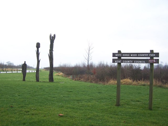
White Horse Wood Country Park
0.9 miles (1.5 km)
![]()
![]() Enjoy fabulous views over the Kent Downs AONB in this new country park near Maidstone. The park contains well surfaced walking trails taking you through grassland and woodland. It also includes the medieval ruins of Thurnham castle, a splendid viewpoint at Detling Hill and traces of an Iron Age settlement.
Enjoy fabulous views over the Kent Downs AONB in this new country park near Maidstone. The park contains well surfaced walking trails taking you through grassland and woodland. It also includes the medieval ruins of Thurnham castle, a splendid viewpoint at Detling Hill and traces of an Iron Age settlement.
The North Downs Way passes the park so you could pick this and head east to the nearby Hucking Estate to extend your walk.
Postcode
ME14 3JE - Please note: Postcode may be approximate for some rural locationsWhite Horse Wood Country Park Ordnance Survey Map  - view and print off detailed OS map
White Horse Wood Country Park Open Street Map  - view and print off detailed map
White Horse Wood Country Park OS Map  - Mobile GPS OS Map with Location tracking
White Horse Wood Country Park Open Street Map  - Mobile GPS Map with Location tracking
Dog Walking
The park is ideal for dog walking so you'll probably see other owners on your visit.


